Distance to Hanover, Massachusetts

Calculating Your Route
Just a moment while we process your request...
Location Information
-
Full AddressHanover, MA 02339
-
Coordinates42.1162217, -70.8476708
-
LocationHanover , Massachusetts , US
-
TimezoneAmerica/New_York
-
Current Local Time9:19:16 AM America/New_YorkSaturday, May 31, 2025
-
Page Views0
About Hanover
Hanover is a town in Plymouth County, Massachusetts, United States. The population was 14,833 at the 2020 census.


Nearby Places
Found 10 places within 50 miles

Rockland
3.6 mi
5.8 km
Rockland, MA
Get directions

Pembroke
3.7 mi
6.0 km
Pembroke, MA
Get directions

Abington
5.1 mi
8.2 km
Abington, MA
Get directions

Whitman
5.1 mi
8.2 km
Whitman, MA 02382
Get directions

Scituate
6.9 mi
11.1 km
Scituate, MA
Get directions

Marshfield
7.2 mi
11.6 km
Marshfield, MA
Get directions

Weymouth
8.5 mi
13.7 km
Weymouth, MA
Get directions

Hingham
8.9 mi
14.3 km
Hingham, MA
Get directions

Brockton
9.0 mi
14.5 km
Brockton, MA
Get directions

Braintree
10.2 mi
16.4 km
Braintree, MA
Get directions
Location Links
Local Weather
Weather Information
Coming soon!
Location Map
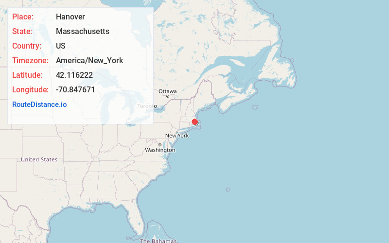
Static map view of Hanover, Massachusetts
Browse Places by Distance
Places within specific distances from Hanover
Short Distances
Long Distances
Click any distance to see all places within that range from Hanover. Distances shown in miles (1 mile ≈ 1.61 kilometers).