Distance to and from Hanovertown, Virginia
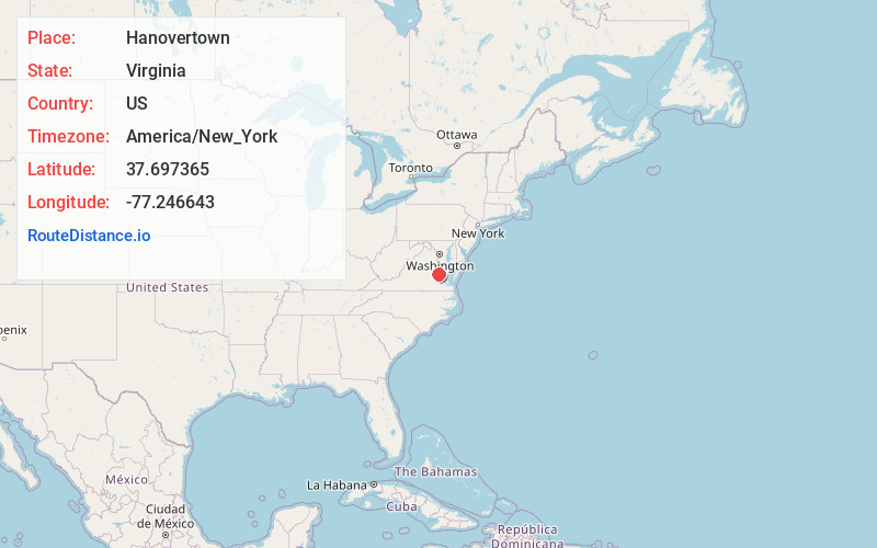
Hanovertown, VA 23116
Virginia
US
America/New_York
Location Information
-
Full AddressHanovertown, VA 23116
-
Coordinates37.697365, -77.2466434
-
LocationVirginia , US
-
TimezoneAmerica/New_York
-
Current Local Time7:15:42 AM America/New_YorkSunday, May 4, 2025
-
Page Views0
Directions to Nearest Cities
Nearby Places
Found 10 places within 50 miles

Studley
2.9 mi
4.7 km
Studley, VA
Get directions
Corinth Fork
4.8 mi
7.7 km
Corinth Fork, VA 23106
Get directions
Beaties Mill
5.2 mi
8.4 km
Beaties Mill, VA 23111
Get directions
Pine Hill
5.3 mi
8.5 km
Pine Hill, VA 23116
Get directions
Cady
7.0 mi
11.3 km
Cady, VA 23069
Get directions
Central Garage
7.0 mi
11.3 km
Central Garage, VA
Get directions
Patrick Henry Heights
7.7 mi
12.4 km
Patrick Henry Heights, VA 23116
Get directions
Henry Clay Heights
8.0 mi
12.9 km
Henry Clay Heights, VA 23116
Get directions
Spring Meadows
8.0 mi
12.9 km
Spring Meadows, Mechanicsville, VA 23111
Get directions

Hanover
8.3 mi
13.4 km
Hanover, VA 23069
Get directions
Studley
2.9 mi
4.7 km
Studley, VA
Corinth Fork
4.8 mi
7.7 km
Corinth Fork, VA 23106
Beaties Mill
5.2 mi
8.4 km
Beaties Mill, VA 23111
Pine Hill
5.3 mi
8.5 km
Pine Hill, VA 23116
Cady
7.0 mi
11.3 km
Cady, VA 23069
Central Garage
7.0 mi
11.3 km
Central Garage, VA
Patrick Henry Heights
7.7 mi
12.4 km
Patrick Henry Heights, VA 23116
Henry Clay Heights
8.0 mi
12.9 km
Henry Clay Heights, VA 23116
Spring Meadows
8.0 mi
12.9 km
Spring Meadows, Mechanicsville, VA 23111
Hanover
8.3 mi
13.4 km
Hanover, VA 23069
Location Links
Local Weather
Weather Information
Coming soon!
Location Map
Static map view of Hanovertown, Virginia
Browse Places by Distance
Places within specific distances from Hanovertown
Short Distances
Long Distances
Click any distance to see all places within that range from Hanovertown. Distances shown in miles (1 mile ≈ 1.61 kilometers).