Distance to Happyland, Oklahoma

Calculating Your Route
Just a moment while we process your request...
Location Information
-
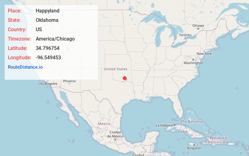
Full AddressHappyland, OK 74871
-
Coordinates34.7967543, -96.5494529
-
LocationOklahoma , US
-
TimezoneAmerica/Chicago
-
Current Local Time8:23:32 AM America/ChicagoThursday, June 12, 2025
-
Page Views0
About Happyland
Happyland is an unincorporated community in Pontotoc County, Oklahoma, United States. It is about 8 miles east of Ada on Oklahoma State Highway 1.
Happyland has frequently been noted on lists of unusual place names. Sign theft of the Happyland sign has been reported.
Nearby Places
Found 10 places within 50 miles

Homer
4.0 mi
6.4 km
Homer, OK 74820
Get directions
Steedman
4.2 mi
6.8 km
Steedman, OK 74820
Get directions
Hird
5.9 mi
9.5 km
Hird, OK 74820
Get directions

Francis
5.9 mi
9.5 km
Francis, OK
Get directions
Leader
6.2 mi
10.0 km
Leader, OK 74871
Get directions
Ahloso
6.6 mi
10.6 km
Ahloso, OK 74820
Get directions
Jaydee
7.0 mi
11.3 km
Jaydee, OK 74825
Get directions
Union Valley
7.3 mi
11.7 km
Union Valley, OK 74871
Get directions

Ada
7.5 mi
12.1 km
Ada, OK
Get directions

Byng
8.0 mi
12.9 km
Byng, OK 74820
Get directions
Location Links
Local Weather
Weather Information
Coming soon!
Location Map
Static map view of Happyland, Oklahoma
Browse Places by Distance
Places within specific distances from Happyland
Short Distances
Long Distances
Click any distance to see all places within that range from Happyland. Distances shown in miles (1 mile ≈ 1.61 kilometers).