Distance to Harjo, Oklahoma

Calculating Your Route
Just a moment while we process your request...
Location Information
-
Full AddressHarjo, OK 74840
-
Coordinates35.214069, -96.825317
-
LocationHarjo , Oklahoma , US
-
TimezoneAmerica/Chicago
-
Current Local Time5:17:24 PM America/ChicagoMonday, June 2, 2025
-
Page Views0
About Harjo
Harjo is an unincorporated community in Pottawatomie County, Oklahoma, United States. The post office was established June 24, 1921, and discontinued August 31, 1954. The name means "brave beyond discretion" in the Creek language.


Nearby Places
Found 10 places within 50 miles

Earlsboro
3.9 mi
6.3 km
Earlsboro, OK
Get directions

Pleasant Grove
5.0 mi
8.0 km
Pleasant Grove, OK 74868
Get directions

Maud
6.4 mi
10.3 km
Maud, OK 74854
Get directions

Tecumseh
7.0 mi
11.3 km
Tecumseh, OK
Get directions
Ellaville
7.8 mi
12.6 km
Ellaville, OK 74854
Get directions

Brooksville
8.2 mi
13.2 km
Brooksville, OK 74873
Get directions
Neal
8.5 mi
13.7 km
Neal, Earlsboro, OK 74840
Get directions
Romulus
8.7 mi
14.0 km
Romulus, OK 74852
Get directions

Seminole
8.8 mi
14.2 km
Seminole, OK
Get directions

Shawnee
9.6 mi
15.4 km
Shawnee, OK
Get directions
Location Links
Local Weather
Weather Information
Coming soon!
Location Map
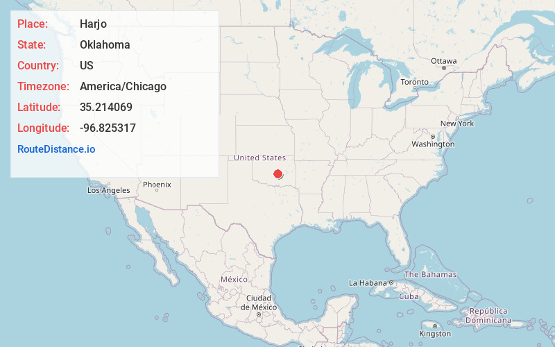
Static map view of Harjo, Oklahoma
Browse Places by Distance
Places within specific distances from Harjo
Short Distances
Long Distances
Click any distance to see all places within that range from Harjo. Distances shown in miles (1 mile ≈ 1.61 kilometers).