Distance to Harlem, Georgia

Calculating Your Route
Just a moment while we process your request...
Location Information
-
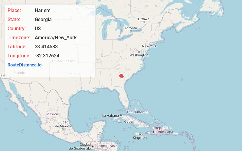
Full AddressHarlem, GA 30814
-
Coordinates33.4145834, -82.3126237
-
LocationHarlem , Georgia , US
-
TimezoneAmerica/New_York
-
Current Local Time12:40:02 PM America/New_YorkWednesday, May 28, 2025
-
Page Views0
About Harlem
Harlem is a city in Columbia County, Georgia, United States. It is part of the Augusta metropolitan area. The population was 2,666 at the 2010 census, up from 1,814 in 2000. This city was named after the neighborhood in the borough of Manhattan.


Nearby Places
Found 10 places within 50 miles

Grovetown
7.0 mi
11.3 km
Grovetown, GA 30813
Get directions

Thomson
11.7 mi
18.8 km
Thomson, GA 30824
Get directions

Evans
13.3 mi
21.4 km
Evans, GA
Get directions

Hephzibah
14.3 mi
23.0 km
Hephzibah, GA 30815
Get directions

Martinez
15.4 mi
24.8 km
Martinez, GA
Get directions

Augusta
16.8 mi
27.0 km
Augusta, GA
Get directions

North Augusta
20.4 mi
32.8 km
North Augusta, SC
Get directions

Belvedere
22.7 mi
36.5 km
Belvedere, SC 29841
Get directions

Waynesboro
28.2 mi
45.4 km
Waynesboro, GA 30830
Get directions

Washington
33.2 mi
53.4 km
Washington, GA 30673
Get directions
Location Links
Local Weather
Weather Information
Coming soon!
Location Map
Static map view of Harlem, Georgia
Browse Places by Distance
Places within specific distances from Harlem
Short Distances
Long Distances
Click any distance to see all places within that range from Harlem. Distances shown in miles (1 mile ≈ 1.61 kilometers).