Distance to Harleyville, South Carolina

Calculating Your Route
Just a moment while we process your request...
Location Information
-
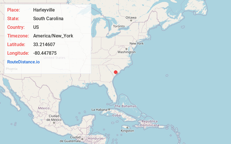
Full AddressHarleyville, SC 29448
-
Coordinates33.2146069, -80.4478745
-
LocationHarleyville , South Carolina , US
-
TimezoneAmerica/New_York
-
Current Local Time8:37:04 PM America/New_YorkTuesday, June 17, 2025
-
Website
-
Page Views0
About Harleyville
Harleyville is a town in Dorchester County, South Carolina, United States. The population was 677 at the 2010 census, up from 594 at the 2000 census. Harleyville is part of the Charleston-North Charleston-Summerville metropolitan area. As of 2018 the population is 696.


Nearby Places
Found 10 places within 50 miles

St George
7.6 mi
12.2 km
St George, SC 29477
Get directions

Holly Hill
7.7 mi
12.4 km
Holly Hill, SC 29059
Get directions

Ridgeville
11.2 mi
18.0 km
Ridgeville, SC 29472
Get directions

Santee
18.1 mi
29.1 km
Santee, SC 29142
Get directions

Cottageville
19.3 mi
31.1 km
Cottageville, SC 29435
Get directions

Summerville
20.8 mi
33.5 km
Summerville, SC
Get directions

Branchville
21.4 mi
34.4 km
Branchville, SC 29432
Get directions

Sangaree
22.3 mi
35.9 km
Sangaree, SC
Get directions

Elloree
23.0 mi
37.0 km
Elloree, SC 29047
Get directions

Pinopolis
23.7 mi
38.1 km
Pinopolis, SC
Get directions
Location Links
Local Weather
Weather Information
Coming soon!
Location Map
Static map view of Harleyville, South Carolina
Browse Places by Distance
Places within specific distances from Harleyville
Short Distances
Long Distances
Click any distance to see all places within that range from Harleyville. Distances shown in miles (1 mile ≈ 1.61 kilometers).