Distance to Harmony Star, Oklahoma

Calculating Your Route
Just a moment while we process your request...
Location Information
-
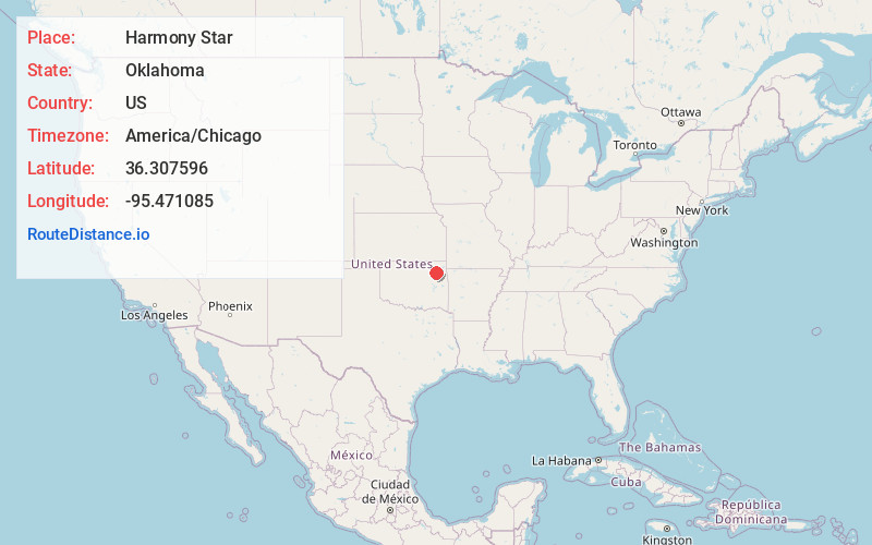
Full AddressHarmony Star, Claremore, OK 74019
-
Coordinates36.3075962, -95.4710852
-
NeighborhoodHarmony Star
-
LocationClaremore , Oklahoma , US
-
TimezoneAmerica/Chicago
-
Current Local Time5:09:50 AM America/ChicagoMonday, June 16, 2025
-
Page Views0
Nearby Places
Found 10 places within 50 miles

Justice
5.4 mi
8.7 km
Justice, OK 74019
Get directions
Tiawah
5.6 mi
9.0 km
Tiawah, OK 74036
Get directions

Sequoyah
6.8 mi
10.9 km
Sequoyah, OK 74017
Get directions
Degroat
7.7 mi
12.4 km
Degroat, Claremore, OK 74017
Get directions
McFarlin
7.8 mi
12.6 km
McFarlin, OK 74036
Get directions
Dog Creek
7.9 mi
12.7 km
Dog Creek, Oklahoma
Get directions

Claremore
8.1 mi
13.0 km
Claremore, OK
Get directions

Pryor
8.6 mi
13.8 km
Pryor, OK 74361
Get directions
Lusta
8.7 mi
14.0 km
Lusta, OK 74361
Get directions
Foyil
9.2 mi
14.8 km
Foyil, OK 74017
Get directions
Location Links
Local Weather
Weather Information
Coming soon!
Location Map
Static map view of Harmony Star, Oklahoma
Browse Places by Distance
Places within specific distances from Harmony Star
Short Distances
Long Distances
Click any distance to see all places within that range from Harmony Star. Distances shown in miles (1 mile ≈ 1.61 kilometers).