Distance to Harrison, Michigan

Calculating Your Route
Just a moment while we process your request...
Location Information
-
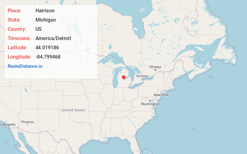
Full AddressHarrison, MI 48625
-
Coordinates44.0191862, -84.7994675
-
LocationHarrison , Michigan , US
-
TimezoneAmerica/Detroit
-
Current Local Time8:51:50 PM America/DetroitWednesday, June 18, 2025
-
Page Views0
About Harrison
Harrison is a city in and county seat of Clare County in the U.S. state of Michigan. The population was 2,150 at the 2020 census.
The community was settled as early as 1877 and was named after William Henry Harrison. Harrison is near the junction of US 127 and M-61. US 127 bypasses the city to the east, while Bus.


Nearby Places
Found 10 places within 50 miles

Clare
13.9 mi
22.4 km
Clare, MI 48617
Get directions

Gladwin
15.8 mi
25.4 km
Gladwin, MI 48624
Get directions

Houghton Lake
20.5 mi
33.0 km
Houghton Lake, MI
Get directions

Mt Pleasant
29.2 mi
47.0 km
Mt Pleasant, MI 48858
Get directions

Cadillac
33.9 mi
54.6 km
Cadillac, MI 49601
Get directions

Reed City
36.7 mi
59.1 km
Reed City, MI 49677
Get directions

Midland
39.2 mi
63.1 km
Midland, MI
Get directions

Canadian Lakes
39.4 mi
63.4 km
Canadian Lakes, MI
Get directions

Skidway Lake
39.6 mi
63.7 km
Skidway Lake, MI
Get directions

Big Rapids
40.7 mi
65.5 km
Big Rapids, MI 49307
Get directions
Location Links
Local Weather
Weather Information
Coming soon!
Location Map
Static map view of Harrison, Michigan
Browse Places by Distance
Places within specific distances from Harrison
Short Distances
Long Distances
Click any distance to see all places within that range from Harrison. Distances shown in miles (1 mile ≈ 1.61 kilometers).