Distance to Harvard, Illinois

Calculating Your Route
Just a moment while we process your request...
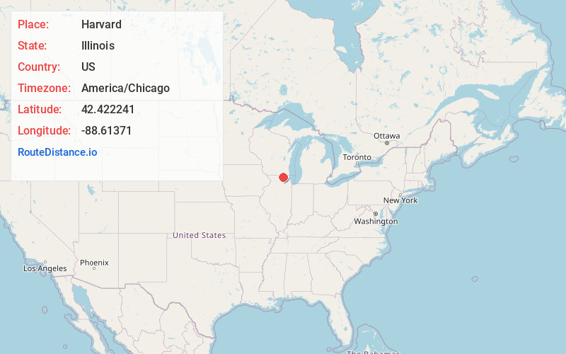
Location Information
-
Full AddressHarvard, IL 60033
-
Coordinates42.422241, -88.6137101
-
LocationHarvard , Illinois , US
-
TimezoneAmerica/Chicago
-
Current Local Time11:52:40 AM America/ChicagoSunday, June 15, 2025
-
Website
-
Page Views0
About Harvard
Harvard is a city located in McHenry County, Illinois. The population was 9,469 at the 2020 census. The city is 63 miles from the Chicago Loop and it is the last stop on the Union Pacific Northwest Line.


Nearby Places
Found 10 places within 50 miles

Woodstock
11.2 mi
18.0 km
Woodstock, IL 60098
Get directions

Belvidere
16.1 mi
25.9 km
Belvidere, IL 61008
Get directions

Elkhorn
17.7 mi
28.5 km
Elkhorn, WI 53121
Get directions

McHenry
18.7 mi
30.1 km
McHenry, IL
Get directions

Crystal Lake
19.7 mi
31.7 km
Crystal Lake, IL
Get directions

Huntley
20.0 mi
32.2 km
Huntley, IL 60142
Get directions

Roscoe
20.2 mi
32.5 km
Roscoe, IL
Get directions

Fox Lake
22.0 mi
35.4 km
Fox Lake, IL
Get directions

Lake in the Hills
22.0 mi
35.4 km
Lake in the Hills, IL
Get directions

Beloit
22.1 mi
35.6 km
Beloit, WI 53511
Get directions
Location Links
Local Weather
Weather Information
Coming soon!
Location Map
Static map view of Harvard, Illinois
Browse Places by Distance
Places within specific distances from Harvard
Short Distances
Long Distances
Click any distance to see all places within that range from Harvard. Distances shown in miles (1 mile ≈ 1.61 kilometers).