Distance to Harvester, Missouri

Calculating Your Route
Just a moment while we process your request...
Location Information
-
Full AddressHarvester, St Peters, MO 63303
-
Coordinates38.7458854, -90.5806779
-
NeighborhoodHarvester
-
LocationSt Peters , Missouri , US
-
TimezoneAmerica/Chicago
-
Current Local Time3:52:08 PM America/ChicagoMonday, June 16, 2025
-
Page Views0
About Harvester
Harvester is an unincorporated community in St. Charles County, in the U.S. state of Missouri. Much of the community has been annexed by St. Peters.
Nearby Places
Found 10 places within 50 miles

Cottleville
3.8 mi
6.1 km
Cottleville, MO
Get directions

St Peters
3.9 mi
6.3 km
St Peters, MO
Get directions

All Saints Village
4.5 mi
7.2 km
All Saints Village, MO 63376
Get directions
Gardnerville
5.4 mi
8.7 km
Gardnerville, St Charles, MO 63301
Get directions
Lake
5.6 mi
9.0 km
Lake, Chesterfield, MO 63017
Get directions

Chesterfield
5.7 mi
9.2 km
Chesterfield, MO
Get directions

St Charles
5.9 mi
9.5 km
St Charles, MO
Get directions

Weldon Spring
6.3 mi
10.1 km
Weldon Spring, MO
Get directions
Weldon Spring Heights
6.4 mi
10.3 km
Weldon Spring Heights, MO
Get directions

Earth City
6.7 mi
10.8 km
Earth City, MO
Get directions
Location Links
Local Weather
Weather Information
Coming soon!
Location Map
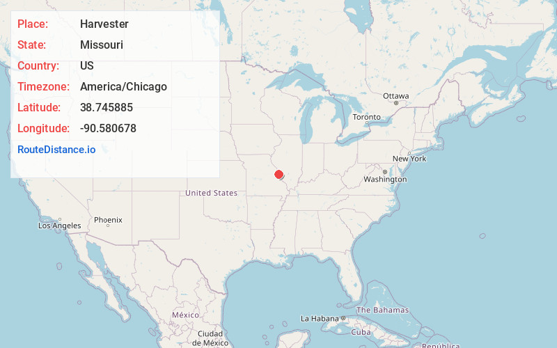
Static map view of Harvester, Missouri
Browse Places by Distance
Places within specific distances from Harvester
Short Distances
Long Distances
Click any distance to see all places within that range from Harvester. Distances shown in miles (1 mile ≈ 1.61 kilometers).