Distance to Hatfield, California

Calculating Your Route
Just a moment while we process your request...
Location Information
-
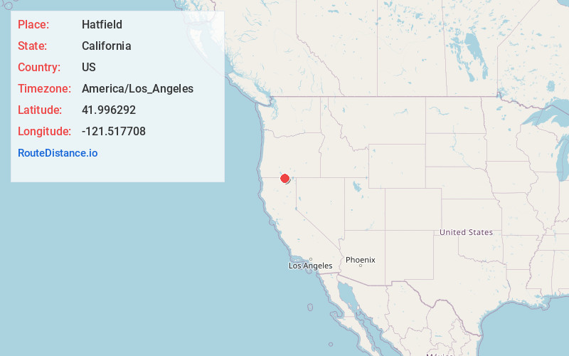
Full AddressHatfield, CA 96134
-
Coordinates41.9962919, -121.517708
-
LocationHatfield , California , US
-
TimezoneAmerica/Los_Angeles
-
Current Local Time6:07:58 PM America/Los_AngelesSunday, May 25, 2025
-
Page Views0
About Hatfield
Hatfield is an unincorporated community in both Siskiyou County, California, and Klamath County, Oregon, in the United States. Hatfield is located at the junction of Oregon Route 39, California State Route 161, and California State Route 139; all three routes terminate at a four-way junction in the community.
Nearby Places
Found 10 places within 50 miles

Tulelake
3.5 mi
5.6 km
Tulelake, CA 96134
Get directions

Merrill
4.7 mi
7.6 km
Merrill, OR
Get directions

Malin
5.7 mi
9.2 km
Malin, OR 97632
Get directions

Newell
10.7 mi
17.2 km
Newell, CA 96134
Get directions

Bonanza
15.1 mi
24.3 km
Bonanza, OR 97623
Get directions

Falcon Heights
15.4 mi
24.8 km
Falcon Heights, OR 97603
Get directions
Altamont
18.4 mi
29.6 km
Altamont, OR 97603
Get directions

Dorris
20.7 mi
33.3 km
Dorris, CA 96023
Get directions

Klamath Falls
20.8 mi
33.5 km
Klamath Falls, OR
Get directions

Keno
23.0 mi
37.0 km
Keno, OR
Get directions
Location Links
Local Weather
Weather Information
Coming soon!
Location Map
Static map view of Hatfield, California
Browse Places by Distance
Places within specific distances from Hatfield
Short Distances
Long Distances
Click any distance to see all places within that range from Hatfield. Distances shown in miles (1 mile ≈ 1.61 kilometers).