Distance to Haviland, New York

Calculating Your Route
Just a moment while we process your request...
Location Information
-
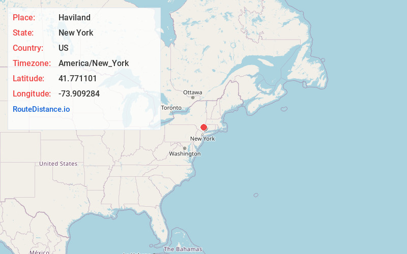
Full AddressHaviland, NY
-
Coordinates41.7711008, -73.9092844
-
LocationHaviland , New York , US
-
TimezoneAmerica/New_York
-
Current Local Time3:15:57 PM America/New_YorkWednesday, June 18, 2025
-
Page Views0
About Haviland
Haviland is a community and census-designated place in Dutchess County, New York, United States. The population was 4,174 at the 2020 census. It is part of the Kiryas Joel–Poughkeepsie–Newburgh, NY Metropolitan Statistical Area as well as the larger New York–Newark–Bridgeport, NY-NJ-CT-PA Combined Statistical Area.
Nearby Places
Found 10 places within 50 miles

Hyde Park
1.6 mi
2.6 km
Hyde Park, NY 12538
Get directions

Highland
4.3 mi
6.9 km
Highland, NY 12528
Get directions

Poughkeepsie
4.6 mi
7.4 km
Poughkeepsie, NY
Get directions

Pleasant Valley
4.9 mi
7.9 km
Pleasant Valley, NY 12569
Get directions

Spackenkill
8.0 mi
12.9 km
Spackenkill, NY
Get directions
Red Oaks Mill
8.2 mi
13.2 km
Red Oaks Mill, NY 12603
Get directions

New Paltz
9.3 mi
15.0 km
New Paltz, NY 12561
Get directions

Rosendale
10.2 mi
16.4 km
Rosendale, NY
Get directions
Marlborough
10.7 mi
17.2 km
Marlborough, NY
Get directions

Lagrangeville
11.3 mi
18.2 km
Lagrangeville, NY 12540
Get directions
Location Links
Local Weather
Weather Information
Coming soon!
Location Map
Static map view of Haviland, New York
Browse Places by Distance
Places within specific distances from Haviland
Short Distances
Long Distances
Click any distance to see all places within that range from Haviland. Distances shown in miles (1 mile ≈ 1.61 kilometers).