Distance to Hawi, Hawaii

Calculating Your Route
Just a moment while we process your request...
Location Information
-
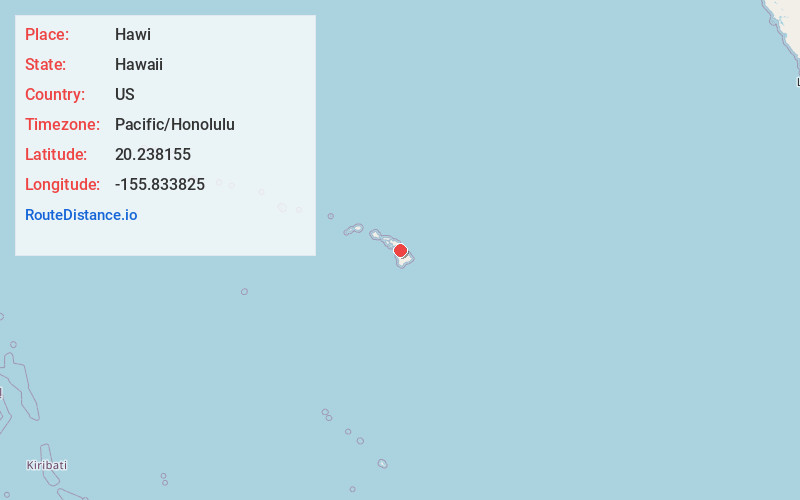
Full AddressHawi, HI
-
Coordinates20.2381545, -155.8338248
-
LocationHawi , Hawaii , US
-
TimezonePacific/Honolulu
-
Current Local Time3:36:56 AM Pacific/HonoluluWednesday, June 18, 2025
-
Page Views0
About Hawi
Hāwī is a census-designated place in Hawaiʻi County, Hawaii. The population was 2,268 at the time of the 2020 United States census.
Hāwī is situated to the west of the community of Kapaau. Together, they comprise the most densely-populated region in the district of North Kohala.


Nearby Places
Found 8 places within 50 miles

Kapaau
1.4 mi
2.3 km
Kapaau, HI
Get directions

Kamuela
18.5 mi
29.8 km
Kamuela, HI 96743
Get directions

Waikoloa Village
21.0 mi
33.8 km
Waikoloa Village, HI
Get directions

Honokaa
26.0 mi
41.8 km
Honokaa, HI 96727
Get directions

Holualoa
41.3 mi
66.5 km
Holualoa, HI
Get directions

Kahaluu-Keauhou
47.0 mi
75.6 km
Kahaluu-Keauhou, HI
Get directions

Keokea
47.1 mi
75.8 km
Keokea, HI 96790
Get directions

Kula
49.7 mi
80.0 km
Kula, HI
Get directions
Location Links
Local Weather
Weather Information
Coming soon!
Location Map
Static map view of Hawi, Hawaii
Browse Places by Distance
Places within specific distances from Hawi
Short Distances
Long Distances
Click any distance to see all places within that range from Hawi. Distances shown in miles (1 mile ≈ 1.61 kilometers).