Distance to Hawkins Landing, North Carolina

Calculating Your Route
Just a moment while we process your request...
Location Information
-
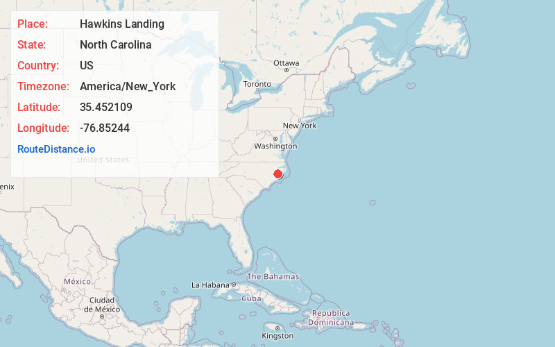
Full AddressHawkins Landing, NC 27808
-
Coordinates35.4521094, -76.8524396
-
LocationNorth Carolina , US
-
TimezoneAmerica/New_York
-
Current Local Time7:48:12 AM America/New_YorkSunday, June 22, 2025
-
Page Views0
Nearby Places
Found 10 places within 50 miles

Bath
2.9 mi
4.7 km
Bath, NC 27808
Get directions

Bayview
3.6 mi
5.8 km
Bayview, NC 27808
Get directions
Gaylord
6.4 mi
10.3 km
Gaylord, NC 27808
Get directions
Beckwith
6.7 mi
10.8 km
Beckwith, NC 27808
Get directions
Rest Haven
7.1 mi
11.4 km
Rest Haven, NC 27808
Get directions
Coxs Crossroads
8.0 mi
12.9 km
Coxs Crossroads, NC 27814
Get directions
Burbage Crossroads
8.4 mi
13.5 km
Burbage Crossroads, NC 27808
Get directions
River Rd
8.7 mi
14.0 km
River Rd, NC 27889
Get directions
Stilley
8.8 mi
14.2 km
Stilley, NC 27814
Get directions

Blounts Creek
9.3 mi
15.0 km
Blounts Creek, NC 27814
Get directions
Location Links
Local Weather
Weather Information
Coming soon!
Location Map
Static map view of Hawkins Landing, North Carolina
Browse Places by Distance
Places within specific distances from Hawkins Landing
Short Distances
Long Distances
Click any distance to see all places within that range from Hawkins Landing. Distances shown in miles (1 mile ≈ 1.61 kilometers).