Distance to Hawley, Minnesota

Calculating Your Route
Just a moment while we process your request...
Location Information
-
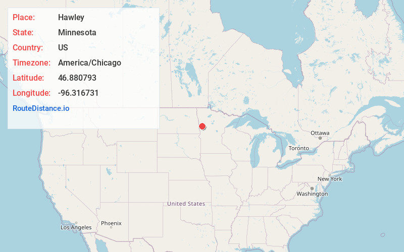
Full AddressHawley, MN 56549
-
Coordinates46.8807932, -96.3167309
-
LocationHawley , Minnesota , US
-
TimezoneAmerica/Chicago
-
Current Local Time8:04:12 PM America/ChicagoMonday, June 2, 2025
-
Page Views0
About Hawley
Hawley is a town in Clay County, Minnesota, United States, along the Buffalo River. The population was 2,219 at the 2020 census.


Nearby Places
Found 10 places within 50 miles

Barnesville
16.5 mi
26.6 km
Barnesville, MN 56514
Get directions

Dilworth
17.9 mi
28.8 km
Dilworth, MN 56529
Get directions

Moorhead
21.3 mi
34.3 km
Moorhead, MN
Get directions

Fargo
22.3 mi
35.9 km
Fargo, ND
Get directions

Detroit Lakes
22.7 mi
36.5 km
Detroit Lakes, MN 56501
Get directions

Pelican Rapids
24.1 mi
38.8 km
Pelican Rapids, MN 56572
Get directions

West Fargo
27.5 mi
44.3 km
West Fargo, ND
Get directions

Horace
29.0 mi
46.7 km
Horace, ND
Get directions

Perham
40.4 mi
65.0 km
Perham, MN 56573
Get directions

Casselton
42.3 mi
68.1 km
Casselton, ND 58012
Get directions
Location Links
Local Weather
Weather Information
Coming soon!
Location Map
Static map view of Hawley, Minnesota
Browse Places by Distance
Places within specific distances from Hawley
Short Distances
Long Distances
Click any distance to see all places within that range from Hawley. Distances shown in miles (1 mile ≈ 1.61 kilometers).