Distance to Hawley, Massachusetts

Calculating Your Route
Just a moment while we process your request...
Location Information
-
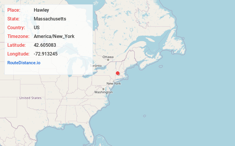
Full AddressHawley, MA
-
Coordinates42.605083, -72.9132446
-
LocationHawley , Massachusetts , US
-
TimezoneAmerica/New_York
-
Current Local Time11:34:43 AM America/New_YorkThursday, June 19, 2025
-
Page Views0
About Hawley
Hawley is a town in Franklin County, Massachusetts, United States. The population was 353 at the 2020 census. It is part of the Springfield, Massachusetts Metropolitan Statistical Area.


Nearby Places
Found 10 places within 50 miles

Charlemont
2.7 mi
4.3 km
Charlemont, MA
Get directions

Rowe
6.1 mi
9.8 km
Rowe, MA
Get directions

Plainfield
6.2 mi
10.0 km
Plainfield, MA
Get directions

Buckland
6.2 mi
10.0 km
Buckland, MA
Get directions

Savoy
6.4 mi
10.3 km
Savoy, MA
Get directions

Florida
6.6 mi
10.6 km
Florida, MA
Get directions

Heath
6.6 mi
10.6 km
Heath, MA
Get directions

Ashfield
8.4 mi
13.5 km
Ashfield, MA
Get directions

Windsor
9.5 mi
15.3 km
Windsor, MA 01270
Get directions

Cummington
10.1 mi
16.3 km
Cummington, MA
Get directions
Location Links
Local Weather
Weather Information
Coming soon!
Location Map
Static map view of Hawley, Massachusetts
Browse Places by Distance
Places within specific distances from Hawley
Short Distances
Long Distances
Click any distance to see all places within that range from Hawley. Distances shown in miles (1 mile ≈ 1.61 kilometers).