Distance to Haws Crossroads, Tennessee

Calculating Your Route
Just a moment while we process your request...
Location Information
-
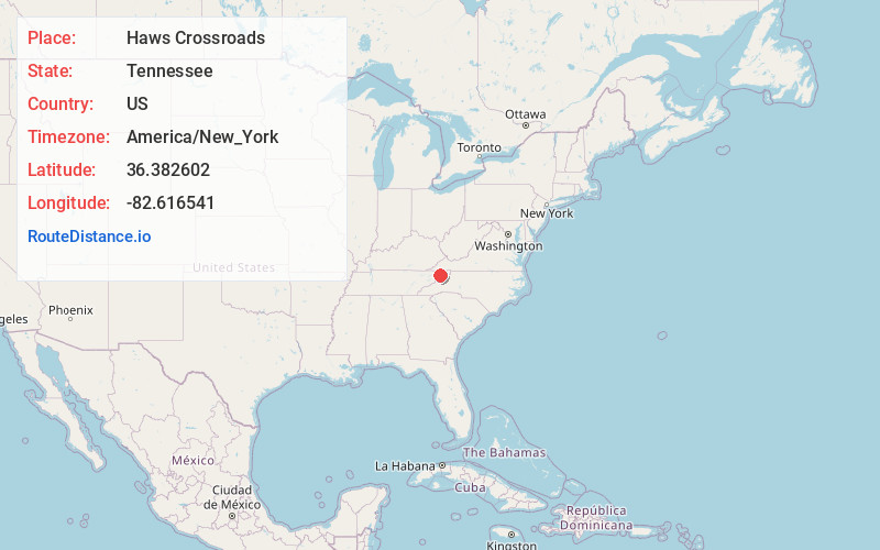
Full AddressHaws Crossroads, TN 37656
-
Coordinates36.3826023, -82.6165411
-
LocationTennessee , US
-
TimezoneAmerica/New_York
-
Current Local Time3:38:52 AM America/New_YorkWednesday, June 18, 2025
-
Page Views0
Nearby Places
Found 10 places within 50 miles

Gabtown
0.5 mi
0.8 km
Gabtown, TN 37656
Get directions

Fall Branch
2.5 mi
4.0 km
Fall Branch, TN 37656
Get directions
Locust Mt
3.7 mi
6.0 km
Locust Mt, TN 37659
Get directions
Glendale
3.9 mi
6.3 km
Glendale, TN 37681
Get directions

Sulphur Springs
4.8 mi
7.7 km
Sulphur Springs, TN 37659
Get directions
Milburnton
5.2 mi
8.4 km
Milburnton, TN 37681
Get directions
Dykes Mill
6.1 mi
9.8 km
Dykes Mill, TN 37857
Get directions
Lone Star
6.2 mi
10.0 km
Lone Star, TN 37660
Get directions

Bowmantown
6.3 mi
10.1 km
Bowmantown, TN 37690
Get directions
Rock Springs
6.7 mi
10.8 km
Rock Springs, Kingsport, TN 37664
Get directions
Location Links
Local Weather
Weather Information
Coming soon!
Location Map
Static map view of Haws Crossroads, Tennessee
Browse Places by Distance
Places within specific distances from Haws Crossroads
Short Distances
Long Distances
Click any distance to see all places within that range from Haws Crossroads. Distances shown in miles (1 mile ≈ 1.61 kilometers).