Distance to Hazel Valley, Arkansas

Calculating Your Route
Just a moment while we process your request...
Location Information
-
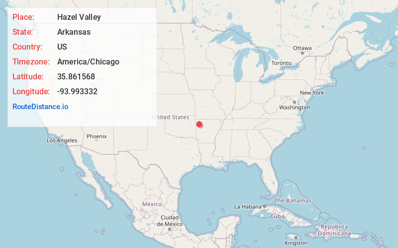
Full AddressHazel Valley, AR 72701
-
Coordinates35.861568, -93.993332
-
LocationHazel Valley , Arkansas , US
-
TimezoneAmerica/Chicago
-
Current Local Time3:55:20 PM America/ChicagoWednesday, June 4, 2025
-
Page Views0
About Hazel Valley
Hazel Valley is an unincorporated community in Reed Township, Washington County, Arkansas, United States. It is located along County Route 47 northeast of Winslow.
A post office was in operation at Hazel Valley from 1875 until 1951.
Nearby Places
Found 10 places within 50 miles

Wyola
3.3 mi
5.3 km
Wyola, AR 72701
Get directions
Arnett
3.4 mi
5.5 km
Arnett, AR 72701
Get directions
Brannon
4.0 mi
6.4 km
Brannon, AR 72727
Get directions
Thompson
4.9 mi
7.9 km
Thompson, AR 72727
Get directions
Health
5.7 mi
9.2 km
Health, AR 72727
Get directions

Durham
6.1 mi
9.8 km
Durham, AR 72704
Get directions
Hicks
6.2 mi
10.0 km
Hicks, AR 72727
Get directions
Patrick
6.3 mi
10.1 km
Patrick, AR 72727
Get directions
Bidville
8.4 mi
13.5 km
Bidville, AR 72959
Get directions

Winslow
9.0 mi
14.5 km
Winslow, AR 72959
Get directions
Location Links
Local Weather
Weather Information
Coming soon!
Location Map
Static map view of Hazel Valley, Arkansas
Browse Places by Distance
Places within specific distances from Hazel Valley
Short Distances
Long Distances
Click any distance to see all places within that range from Hazel Valley. Distances shown in miles (1 mile ≈ 1.61 kilometers).