Distance to Hazelgreen, West Virginia

Calculating Your Route
Just a moment while we process your request...
Location Information
-
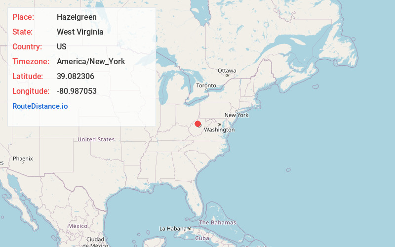
Full AddressHazelgreen, WV 26362
-
Coordinates39.082306, -80.9870533
-
LocationHazelgreen , West Virginia , US
-
TimezoneAmerica/New_York
-
Current Local Time12:57:41 AM America/New_YorkThursday, June 19, 2025
-
Page Views0
About Hazelgreen
Hazelgreen is an unincorporated community in Ritchie County, West Virginia, United States. Hazelgreen is located along County Route 19 and Spruce Creek, 9.5 miles south-southeast of Harrisville. Hazelgreen had a post office, which closed on May 13, 1995.
Nearby Places
Found 10 places within 50 miles

Prunty
2.0 mi
3.2 km
Prunty, WV 26362
Get directions
Burnt House
2.5 mi
4.0 km
Burnt House, WV 26362
Get directions
Goffs
2.6 mi
4.2 km
Goffs, WV 26362
Get directions
Long Run
3.0 mi
4.8 km
Long Run, WV 26362
Get directions
Slab
3.3 mi
5.3 km
Slab, WV 26178
Get directions
Racket
3.8 mi
6.1 km
Racket, WV 26137
Get directions
Eva
4.1 mi
6.6 km
Eva, WV 26362
Get directions
Berea
4.7 mi
7.6 km
Berea, WV 26327
Get directions
Mahone
5.0 mi
8.0 km
Mahone, WV 26362
Get directions
Washburn
5.2 mi
8.4 km
Washburn, WV 26362
Get directions
Location Links
Local Weather
Weather Information
Coming soon!
Location Map
Static map view of Hazelgreen, West Virginia
Browse Places by Distance
Places within specific distances from Hazelgreen
Short Distances
Long Distances
Click any distance to see all places within that range from Hazelgreen. Distances shown in miles (1 mile ≈ 1.61 kilometers).