Distance to Hazelgreen, Missouri

Calculating Your Route
Just a moment while we process your request...
Location Information
-
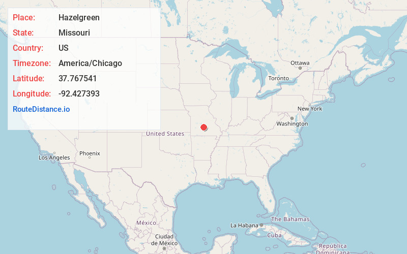
Full AddressHazelgreen, May/Smith Township, MO 65556
-
Coordinates37.7675405, -92.4273934
-
LocationMay/Smith Township , Missouri , US
-
TimezoneAmerica/Chicago
-
Current Local Time1:18:51 PM America/ChicagoMonday, June 16, 2025
-
Page Views0
About Hazelgreen
Hazelgreen is an unincorporated community in eastern Laclede County, Missouri, United States. It lies along historic U.S. Route 66, now an outer road of Interstate 44. The town is split by I-44, one mile west of the I-44 - Missouri Route 133 junction in adjacent Pulaski County.
Nearby Places
Found 10 places within 50 miles

Stoutland
5.7 mi
9.2 km
Stoutland, MO
Get directions

Richland
6.3 mi
10.1 km
Richland, MO 65556
Get directions

Waynesville
13.1 mi
21.1 km
Waynesville, MO 65583
Get directions

Lebanon
14.2 mi
22.9 km
Lebanon, MO 65536
Get directions

St Robert
14.3 mi
23.0 km
St Robert, MO
Get directions

Fort Leonard Wood
14.6 mi
23.5 km
Fort Leonard Wood, MO
Get directions

Crocker
15.4 mi
24.8 km
Crocker, MO 65452
Get directions

Montreal
16.6 mi
26.7 km
Montreal, MO 65591
Get directions

Evergreen
18.1 mi
29.1 km
Evergreen, MO
Get directions

Plato
21.3 mi
34.3 km
Plato, MO 65552
Get directions
Location Links
Local Weather
Weather Information
Coming soon!
Location Map
Static map view of Hazelgreen, Missouri
Browse Places by Distance
Places within specific distances from Hazelgreen
Short Distances
Long Distances
Click any distance to see all places within that range from Hazelgreen. Distances shown in miles (1 mile ≈ 1.61 kilometers).