Distance to Headlee, Indiana

Calculating Your Route
Just a moment while we process your request...
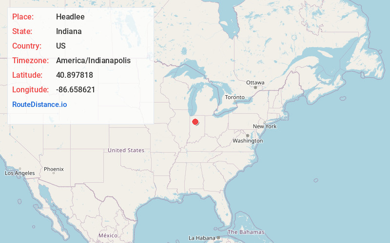
Location Information
-
Full AddressHeadlee, Cass Township, IN 47960
-
Coordinates40.8978179, -86.6586207
-
LocationCass Township , Indiana , US
-
TimezoneAmerica/Indianapolis
-
Page Views0
About Headlee
Headlee is an unincorporated rural hamlet located in White County, in the U.S. state of Indiana. It is also part of the Cass Township of Indiana.
Nearby Places
Found 10 places within 50 miles

Buffalo
4.6 mi
7.4 km
Buffalo, IN
Get directions

Thornhope
7.0 mi
11.3 km
Thornhope, IN 46985
Get directions

Star City
7.4 mi
11.9 km
Star City, IN 46985
Get directions

Royal Center
8.6 mi
13.8 km
Royal Center, IN 46978
Get directions
Idaville
9.7 mi
15.6 km
Idaville, IN
Get directions
Norway
9.8 mi
15.8 km
Norway, IN 47960
Get directions
Burnettsville
10.0 mi
16.1 km
Burnettsville, IN 47926
Get directions
Guernsey
10.5 mi
16.9 km
Guernsey, Union Township, IN 47960
Get directions

Winamac
11.0 mi
17.7 km
Winamac, IN 46996
Get directions
East Monticello
11.6 mi
18.7 km
East Monticello, Union Township, IN 47960
Get directions
Location Links
Local Weather
Weather Information
Coming soon!
Location Map
Static map view of Headlee, Indiana
Browse Places by Distance
Places within specific distances from Headlee
Short Distances
Long Distances
Click any distance to see all places within that range from Headlee. Distances shown in miles (1 mile ≈ 1.61 kilometers).