Distance to Healdton, Oklahoma

Calculating Your Route
Just a moment while we process your request...
Location Information
-
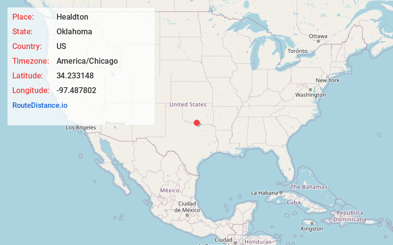
Full AddressHealdton, OK
-
Coordinates34.2331475, -97.4878023
-
LocationHealdton , Oklahoma , US
-
TimezoneAmerica/Chicago
-
Current Local Time4:46:16 AM America/ChicagoFriday, June 20, 2025
-
Page Views0
About Healdton
Healdton is a city in Carter County, Oklahoma, United States. Its population was 2,788 at the 2010 census. It is part of the Ardmore micropolitan statistical area.


Nearby Places
Found 10 places within 50 miles

Lone Grove
13.5 mi
21.7 km
Lone Grove, OK
Get directions

Ardmore
20.1 mi
32.3 km
Ardmore, OK
Get directions

Davis
28.2 mi
45.4 km
Davis, OK 73030
Get directions

Marietta
29.5 mi
47.5 km
Marietta, OK 73448
Get directions

Duncan
32.6 mi
52.5 km
Duncan, OK
Get directions

Nocona
33.7 mi
54.2 km
Nocona, TX 76255
Get directions

Sulphur
35.2 mi
56.6 km
Sulphur, OK 73086
Get directions

Pauls Valley
38.2 mi
61.5 km
Pauls Valley, OK
Get directions

Marlow
39.2 mi
63.1 km
Marlow, OK 73055
Get directions

Lindsay
42.1 mi
67.8 km
Lindsay, OK 73052
Get directions
Location Links
Local Weather
Weather Information
Coming soon!
Location Map
Static map view of Healdton, Oklahoma
Browse Places by Distance
Places within specific distances from Healdton
Short Distances
Long Distances
Click any distance to see all places within that range from Healdton. Distances shown in miles (1 mile ≈ 1.61 kilometers).