Distance to Heber, California

Calculating Your Route
Just a moment while we process your request...
Location Information
-
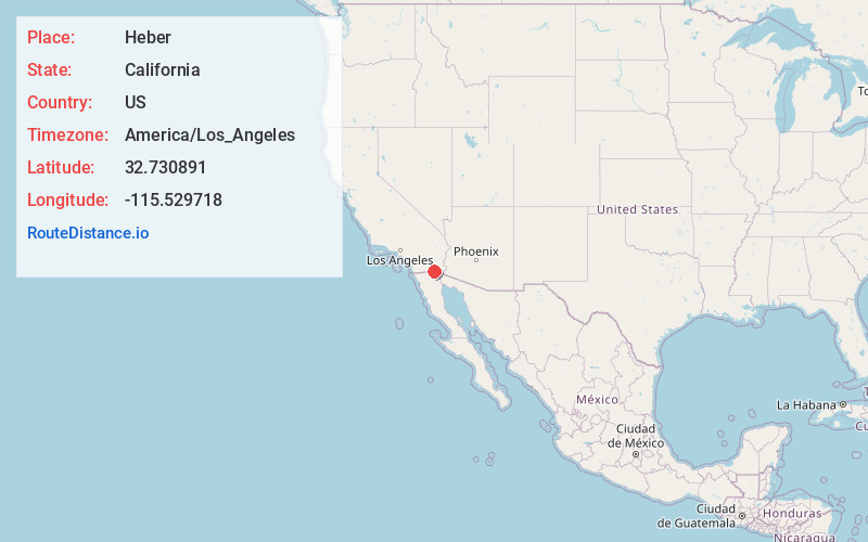
Full AddressHeber, CA 92249
-
Coordinates32.7308911, -115.529718
-
LocationHeber , California , US
-
TimezoneAmerica/Los_Angeles
-
Current Local Time2:32:34 PM America/Los_AngelesWednesday, June 18, 2025
-
Page Views0
About Heber
Heber is a census-designated place in Imperial County, California. Heber is located 4.5 miles north-northwest of Calexico. The population was 4,275 at the 2010 census, up from 2,566 in 2000.


Nearby Places
Found 6 places within 50 miles

Calexico
4.0 mi
6.4 km
Calexico, CA
Get directions

El Centro
4.6 mi
7.4 km
El Centro, CA
Get directions

Imperial
8.4 mi
13.5 km
Imperial, CA
Get directions

Brawley
17.1 mi
27.5 km
Brawley, CA 92227
Get directions

San Luis
46.7 mi
75.2 km
San Luis, AZ
Get directions

Somerton
48.6 mi
78.2 km
Somerton, AZ
Get directions
Location Links
Local Weather
Weather Information
Coming soon!
Location Map
Static map view of Heber, California
Browse Places by Distance
Places within specific distances from Heber
Short Distances
Long Distances
Click any distance to see all places within that range from Heber. Distances shown in miles (1 mile ≈ 1.61 kilometers).