Distance to Hecla, South Dakota

Calculating Your Route
Just a moment while we process your request...
Location Information
-
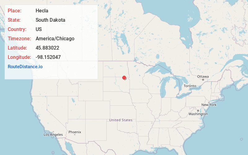
Full AddressHecla, SD 57446
-
Coordinates45.8830217, -98.1520474
-
LocationHecla , South Dakota , US
-
TimezoneAmerica/Chicago
-
Current Local Time11:16:20 PM America/ChicagoMonday, June 30, 2025
-
Page Views0
About Hecla
Hecla is a city in Brown County, South Dakota, United States, located only a few miles south of the North Dakota border. The population was 193 at the 2020 census. State Highway 37 runs along the east side of town.
Nearby Places
Found 10 places within 50 miles

Oakes
17.9 mi
28.8 km
Oakes, ND 58474
Get directions

Ellendale
19.8 mi
31.9 km
Ellendale, ND 58436
Get directions

Britton
20.3 mi
32.7 km
Britton, SD 57430
Get directions

Langford
24.8 mi
39.9 km
Langford, SD 57454
Get directions
Forman
29.2 mi
47.0 km
Forman, ND 58032
Get directions

Groton
30.2 mi
48.6 km
Groton, SD 57445
Get directions

Aberdeen
33.1 mi
53.3 km
Aberdeen, SD 57401
Get directions

Gwinner
33.3 mi
53.6 km
Gwinner, ND
Get directions

Lamoure
33.5 mi
53.9 km
Lamoure, ND 58458
Get directions

Leola
39.6 mi
63.7 km
Leola, SD 57456
Get directions
Location Links
Local Weather
Weather Information
Coming soon!
Location Map
Static map view of Hecla, South Dakota
Browse Places by Distance
Places within specific distances from Hecla
Short Distances
Long Distances
Click any distance to see all places within that range from Hecla. Distances shown in miles (1 mile ≈ 1.61 kilometers).