Distance to Helena, Texas

Calculating Your Route
Just a moment while we process your request...
Location Information
-
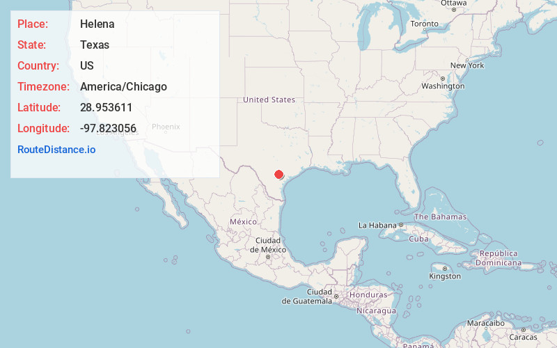
Full AddressHelena, TX 78118
-
Coordinates28.953611, -97.8230559
-
LocationHelena , Texas , US
-
TimezoneAmerica/Chicago
-
Current Local Time10:07:07 PM America/ChicagoSaturday, June 7, 2025
-
Page Views0
About Helena
Helena is a ghost town in Texas, approximately 70 mi southeast of San Antonio in Karnes County. The seat of Karnes County from 1854 to 1894, Helena was once known as the self-proclaimed "toughest town on earth" in the mid-19th century.


Nearby Places
Found 10 places within 50 miles

Karnes City
6.7 mi
10.8 km
Karnes City, TX 78118
Get directions

Runge
8.2 mi
13.2 km
Runge, TX 78151
Get directions

Kenedy
9.4 mi
15.1 km
Kenedy, TX 78119
Get directions

Falls City
11.9 mi
19.2 km
Falls City, TX 78113
Get directions

Nordheim
13.1 mi
21.1 km
Nordheim, TX 78141
Get directions

Gruenau
17.4 mi
28.0 km
Gruenau, TX 78164
Get directions
Poth
17.6 mi
28.3 km
Poth, TX
Get directions
Charco
19.4 mi
31.2 km
Charco, TX 77963
Get directions

Yorktown
19.5 mi
31.4 km
Yorktown, TX 78164
Get directions

Stockdale
21.2 mi
34.1 km
Stockdale, TX 78160
Get directions
Location Links
Local Weather
Weather Information
Coming soon!
Location Map
Static map view of Helena, Texas
Browse Places by Distance
Places within specific distances from Helena
Short Distances
Long Distances
Click any distance to see all places within that range from Helena. Distances shown in miles (1 mile ≈ 1.61 kilometers).