Distance to Helena, Kentucky

Calculating Your Route
Just a moment while we process your request...
Location Information
-
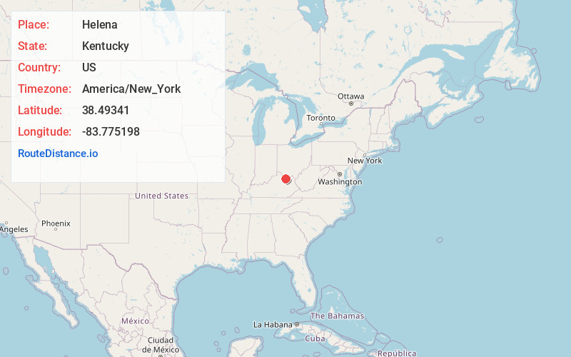
Full AddressHelena, KY 41055
-
Coordinates38.4934099, -83.775198
-
LocationHelena , Kentucky , US
-
TimezoneAmerica/New_York
-
Current Local Time2:26:28 AM America/New_YorkTuesday, July 1, 2025
-
Page Views0
About Helena
Helena is an unincorporated community in Mason County, Kentucky, United States.
Nearby Places
Found 10 places within 50 miles

Weedonia
1.1 mi
1.8 km
Weedonia, KY 41056
Get directions
Mays Lick
4.0 mi
6.4 km
Mays Lick, KY 41055
Get directions
Nepton
5.1 mi
8.2 km
Nepton, KY 41041
Get directions

Flemingsburg
5.4 mi
8.7 km
Flemingsburg, KY 41041
Get directions
Elizaville
5.8 mi
9.3 km
Elizaville, KY
Get directions
Ewing
6.6 mi
10.6 km
Ewing, KY 41039
Get directions
Murphysville
7.1 mi
11.4 km
Murphysville, KY 41056
Get directions
Somo
7.3 mi
11.7 km
Somo, KY 41056
Get directions
Mt Carmel
7.5 mi
12.1 km
Mt Carmel, KY 41093
Get directions
Beechburg
8.0 mi
12.9 km
Beechburg, KY 41093
Get directions
Location Links
Local Weather
Weather Information
Coming soon!
Location Map
Static map view of Helena, Kentucky
Browse Places by Distance
Places within specific distances from Helena
Short Distances
Long Distances
Click any distance to see all places within that range from Helena. Distances shown in miles (1 mile ≈ 1.61 kilometers).