Distance to Helena, Oklahoma

Calculating Your Route
Just a moment while we process your request...
Location Information
-
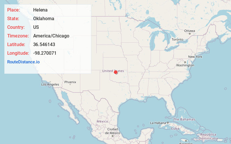
Full AddressHelena, OK 73741
-
Coordinates36.5461432, -98.2700706
-
LocationHelena , Oklahoma , US
-
TimezoneAmerica/Chicago
-
Current Local Time5:36:42 AM America/ChicagoSunday, June 1, 2025
-
Page Views0
About Helena
Helena is a town in southeastern Alfalfa County, Oklahoma, United States. Residents pronounce the town's name with a long E: "Heh-LEE'-nuh." The population was 1,403 at the 2010 census.


Nearby Places
Found 7 places within 50 miles

Cherokee
15.2 mi
24.5 km
Cherokee, OK 73728
Get directions

Fairview
22.4 mi
36.0 km
Fairview, OK 73737
Get directions

Enid
24.1 mi
38.8 km
Enid, OK
Get directions

Alva
28.3 mi
45.5 km
Alva, OK 73717
Get directions

Hennessey
36.6 mi
58.9 km
Hennessey, OK 73742
Get directions

Anthony
44.0 mi
70.8 km
Anthony, KS
Get directions

Watonga
49.1 mi
79.0 km
Watonga, OK
Get directions
Location Links
Local Weather
Weather Information
Coming soon!
Location Map
Static map view of Helena, Oklahoma
Browse Places by Distance
Places within specific distances from Helena
Short Distances
Long Distances
Click any distance to see all places within that range from Helena. Distances shown in miles (1 mile ≈ 1.61 kilometers).