Distance to Hells Gate State Park, Idaho

Calculating Your Route
Just a moment while we process your request...
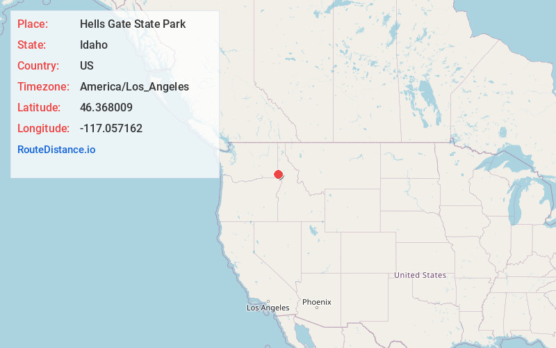
Location Information
-
Full AddressHells Gate State Park, 5100 Hells Gate Rd, Lewiston, ID 83501
-
Coordinates46.3680085, -117.0571622
-
Street5100 Hells Gate Rd
-
LocationLewiston , Idaho , US
-
TimezoneAmerica/Los_Angeles
-
Current Local Time7:43:07 PM America/Los_AngelesThursday, May 29, 2025
-
Page Views0
About Hells Gate State Park
Riverside campsites & rental cabins, plus water sports, an education center & scenic hiking trails.


Nearby Places
Found 10 places within 50 miles

Clarkston Heights-Vineland
1.9 mi
3.1 km
Clarkston Heights-Vineland, WA 99403
Get directions

Asotin
2.0 mi
3.2 km
Asotin, WA
Get directions

Clarkston
3.4 mi
5.5 km
Clarkston, WA 99403
Get directions

Lewiston
3.6 mi
5.8 km
Lewiston, ID 83501
Get directions

Jerry
3.9 mi
6.3 km
Jerry, WA 99402
Get directions
Valley View Heights
5.6 mi
9.0 km
Valley View Heights, ID 83501
Get directions
Forebay
6.0 mi
9.7 km
Forebay, ID 83501
Get directions

Silcott
7.4 mi
11.9 km
Silcott, WA 99403
Get directions

Alpowa
7.5 mi
12.1 km
Alpowa, WA 99403
Get directions
Moses
8.4 mi
13.5 km
Moses, WA 99403
Get directions
Location Links
Local Weather
Weather Information
Coming soon!
Location Map
Static map view of Hells Gate State Park, Idaho
Browse Places by Distance
Places within specific distances from Hells Gate State Park
Short Distances
Long Distances
Click any distance to see all places within that range from Hells Gate State Park. Distances shown in miles (1 mile ≈ 1.61 kilometers).