Distance to Helmer, Indiana

Calculating Your Route
Just a moment while we process your request...
Location Information
-
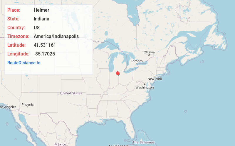
Full AddressHelmer, IN 46747
-
Coordinates41.5311613, -85.1702495
-
LocationHelmer , Indiana , US
-
TimezoneAmerica/Indianapolis
-
Page Views0
About Helmer
Helmer is an unincorporated community in Salem Township, Steuben County, in the U.S. state of Indiana.
Nearby Places
Found 10 places within 50 miles

Stroh
3.8 mi
6.1 km
Stroh, IN
Get directions
Wildwood
4.5 mi
7.2 km
Wildwood, IN
Get directions

Hudson
4.6 mi
7.4 km
Hudson, IN
Get directions
South Milford
5.2 mi
8.4 km
South Milford, IN 46795
Get directions
Ashley
5.4 mi
8.7 km
Ashley, IN 46705
Get directions
Corunna
6.6 mi
10.6 km
Corunna, IN 46730
Get directions

Kendallville
7.9 mi
12.7 km
Kendallville, IN 46755
Get directions

Pleasant Lake
8.5 mi
13.7 km
Pleasant Lake, IN 46779
Get directions
Wolcottville
10.2 mi
16.4 km
Wolcottville, IN
Get directions

Waterloo
10.4 mi
16.7 km
Waterloo, IN 46793
Get directions
Location Links
Local Weather
Weather Information
Coming soon!
Location Map
Static map view of Helmer, Indiana
Browse Places by Distance
Places within specific distances from Helmer
Short Distances
Long Distances
Click any distance to see all places within that range from Helmer. Distances shown in miles (1 mile ≈ 1.61 kilometers).