Distance to Henry Fork, Virginia

Calculating Your Route
Just a moment while we process your request...
Location Information
-
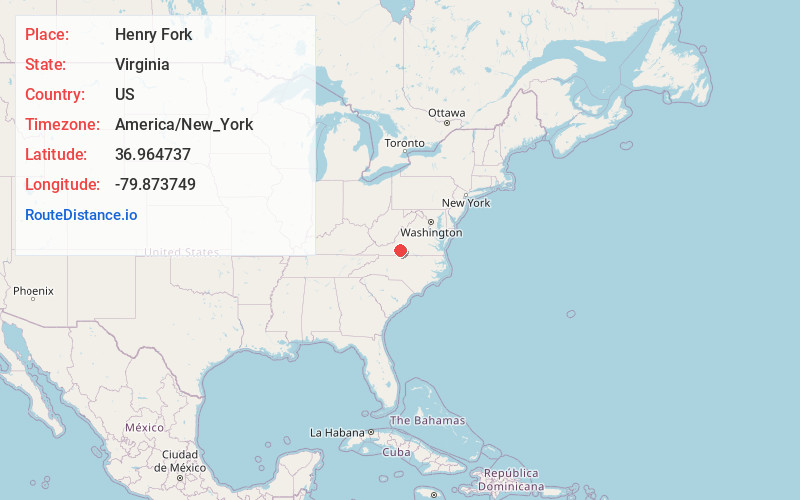
Full AddressHenry Fork, VA 24151
-
Coordinates36.964737, -79.873749
-
LocationHenry Fork , Virginia , US
-
TimezoneAmerica/New_York
-
Current Local Time1:49:29 PM America/New_YorkWednesday, June 18, 2025
-
Page Views0
About Henry Fork
Henry Fork is an unincorporated community and census-designated place in Franklin County, Virginia, United States, just south of Rocky Mount. The population as of the 2010 census was 1,234.
Nearby Places
Found 10 places within 50 miles

Rocky Mount
2.5 mi
4.0 km
Rocky Mount, VA 24151
Get directions

Ferrum
8.2 mi
13.2 km
Ferrum, VA 24088
Get directions

Union Hall
11.4 mi
18.3 km
Union Hall, VA 24176
Get directions

Penhook
13.6 mi
21.9 km
Penhook, VA 24137
Get directions

North Shore
14.4 mi
23.2 km
North Shore, VA
Get directions
Westlake Corner
14.6 mi
23.5 km
Westlake Corner, VA
Get directions

Stanleytown
16.0 mi
25.7 km
Stanleytown, VA
Get directions

Collinsville
17.4 mi
28.0 km
Collinsville, VA
Get directions

Martinsville
18.9 mi
30.4 km
Martinsville, VA 24112
Get directions

Cave Spring
19.7 mi
31.7 km
Cave Spring, VA 24018
Get directions
Location Links
Local Weather
Weather Information
Coming soon!
Location Map
Static map view of Henry Fork, Virginia
Browse Places by Distance
Places within specific distances from Henry Fork
Short Distances
Long Distances
Click any distance to see all places within that range from Henry Fork. Distances shown in miles (1 mile ≈ 1.61 kilometers).