Distance to Hensley, West Virginia

Calculating Your Route
Just a moment while we process your request...
Location Information
-
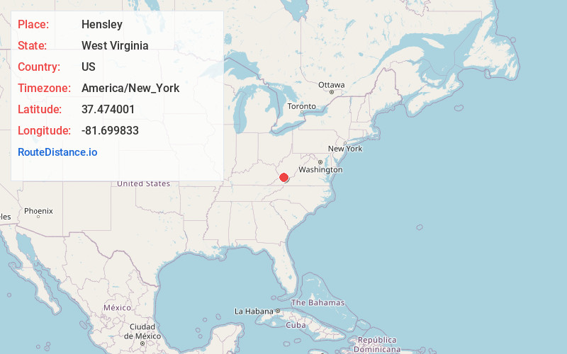
Full AddressHensley, WV 24828
-
Coordinates37.4740011, -81.6998327
-
LocationHensley , West Virginia , US
-
TimezoneAmerica/New_York
-
Current Local Time5:53:01 PM America/New_YorkFriday, June 27, 2025
-
Page Views0
About Hensley
Hensley is an unincorporated community on the Tug Fork River in McDowell County, West Virginia, United States. According to the Geographic Names Information System, Hensley has also been known by the names Claren, Claren Station, and Hensley Claren.
Nearby Places
Found 10 places within 50 miles

Big Sandy
0.7 mi
1.1 km
Big Sandy, WV 24828
Get directions
Roderfield
1.7 mi
2.7 km
Roderfield, WV 24828
Get directions
Twin Branch
1.7 mi
2.7 km
Twin Branch, WV 24828
Get directions
Davy
2.6 mi
4.2 km
Davy, WV 24828
Get directions

Iaeger
6.3 mi
10.1 km
Iaeger, WV 24844
Get directions
Johnnycake
6.5 mi
10.5 km
Johnnycake, WV 24844
Get directions

Welch
6.9 mi
11.1 km
Welch, WV 24801
Get directions
North Spring
9.1 mi
14.6 km
North Spring, WV 24869
Get directions
Brenton
9.1 mi
14.6 km
Brenton, WV 24818
Get directions
Bartley
9.4 mi
15.1 km
Bartley, WV 24879
Get directions
Location Links
Local Weather
Weather Information
Coming soon!
Location Map
Static map view of Hensley, West Virginia
Browse Places by Distance
Places within specific distances from Hensley
Short Distances
Long Distances
Click any distance to see all places within that range from Hensley. Distances shown in miles (1 mile ≈ 1.61 kilometers).