Distance to Hernandez, New Mexico

Calculating Your Route
Just a moment while we process your request...
Location Information
-
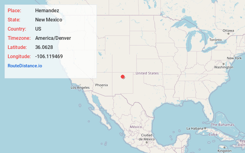
Full AddressHernandez, NM
-
Coordinates36.0628, -106.1194685
-
LocationHernandez , New Mexico , US
-
TimezoneAmerica/Denver
-
Current Local Time3:16:11 PM America/DenverThursday, July 3, 2025
-
Page Views0
About Hernandez
Hernandez is an unincorporated community and census-designated place in Rio Arriba County, New Mexico, United States. Hernandez is approximately 5 miles northwest of Española on highway US 84 / US 285.

Nearby Places
Found 10 places within 50 miles

Ohkay Owingeh
2.8 mi
4.5 km
Ohkay Owingeh, NM
Get directions

La Mesilla Ditch
7.6 mi
12.2 km
La Mesilla Ditch, New Mexico
Get directions
El Valle De Arroyo Seco
8.5 mi
13.7 km
El Valle De Arroyo Seco, NM
Get directions

La Puebla
8.6 mi
13.8 km
La Puebla, NM
Get directions

Chimayo
10.5 mi
16.9 km
Chimayo, NM
Get directions

El Rancho
11.8 mi
19.0 km
El Rancho, NM 87506
Get directions

Pojoaque
12.9 mi
20.8 km
Pojoaque, NM 87506
Get directions

Los Alamos
16.3 mi
26.2 km
Los Alamos, NM 87544
Get directions

White Rock
16.9 mi
27.2 km
White Rock, NM 87547
Get directions

El Rito
19.8 mi
31.9 km
El Rito, NM 87530
Get directions
Location Links
Local Weather
Weather Information
Coming soon!
Location Map
Static map view of Hernandez, New Mexico
Browse Places by Distance
Places within specific distances from Hernandez
Short Distances
Long Distances
Click any distance to see all places within that range from Hernandez. Distances shown in miles (1 mile ≈ 1.61 kilometers).