Distance to Herndon, Kansas

Calculating Your Route
Just a moment while we process your request...
Location Information
-
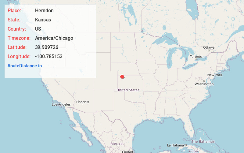
Full AddressHerndon, KS 67739
-
Coordinates39.9097257, -100.7851525
-
LocationHerndon , Kansas , US
-
TimezoneAmerica/Chicago
-
Current Local Time2:10:38 PM America/ChicagoSunday, June 29, 2025
-
Page Views0
About Herndon
Herndon is a city in Rawlins County, Kansas, United States. As of the 2020 census, the population of the city was 119. It is located approximately 12.5 miles south of the Kansas-Nebraska state border.

Nearby Places
Found 10 places within 50 miles

Oberlin
15.0 mi
24.1 km
Oberlin, KS 67749
Get directions

Atwood
15.4 mi
24.8 km
Atwood, KS 67730
Get directions

McCook
21.6 mi
34.8 km
McCook, NE 69001
Get directions

Trenton
21.9 mi
35.2 km
Trenton, NE 69044
Get directions

Culbertson
22.3 mi
35.9 km
Culbertson, NE 69024
Get directions

Selden
28.0 mi
45.1 km
Selden, KS 67757
Get directions
Stratton
28.6 mi
46.0 km
Stratton, NE 69043
Get directions

Indianola
29.7 mi
47.8 km
Indianola, NE 69034
Get directions
Rexford
30.3 mi
48.8 km
Rexford, KS 67753
Get directions
Norcatur
32.1 mi
51.7 km
Norcatur, KS 67653
Get directions
Location Links
Local Weather
Weather Information
Coming soon!
Location Map
Static map view of Herndon, Kansas
Browse Places by Distance
Places within specific distances from Herndon
Short Distances
Long Distances
Click any distance to see all places within that range from Herndon. Distances shown in miles (1 mile ≈ 1.61 kilometers).