Distance to Herod, Illinois

Calculating Your Route
Just a moment while we process your request...
Location Information
-
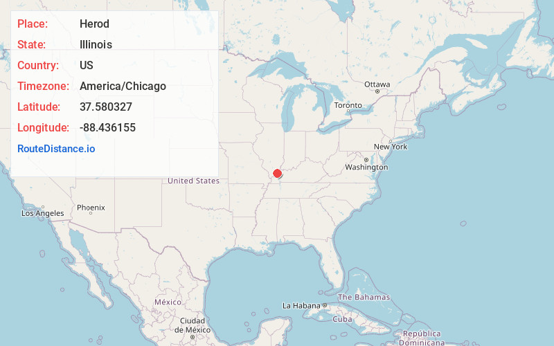
Full AddressHerod, IL 62947
-
Coordinates37.5803268, -88.4361547
-
LocationHerod , Illinois , US
-
TimezoneAmerica/Chicago
-
Current Local Time8:48:41 PM America/ChicagoFriday, June 20, 2025
-
Page Views0
About Herod
Herod is an unincorporated community in Pope County, Illinois, United States. Herod is located on Illinois Route 34 at the edge of the Shawnee National Forest. Herod has a post office with ZIP code 62947.
A cultural heritage group and nonprofit organization, the Vinyard Indian Settlement, is based in Herod.


Nearby Places
Found 10 places within 50 miles

Hartsville
4.0 mi
6.4 km
Hartsville, Golconda No. 2 Precinct, IL 62947
Get directions
Rudement
4.9 mi
7.9 km
Rudement, Independence Township, IL 62946
Get directions
Eichorn
6.4 mi
10.3 km
Eichorn, Stone Church Precinct, IL 62938
Get directions
Lusk
7.1 mi
11.4 km
Lusk, IL 62938
Get directions
Humm Wye
8.4 mi
13.5 km
Humm Wye, Stone Church Precinct, IL 62938
Get directions
Eddyville
10.0 mi
16.1 km
Eddyville, IL 62928
Get directions
Pankeyville
10.4 mi
16.7 km
Pankeyville, Harrisburg Township, IL 62946
Get directions
Garden Heights
10.9 mi
17.5 km
Garden Heights, Harrisburg, IL 62946
Get directions
Cottage Grove
11.7 mi
18.8 km
Cottage Grove, IL 62946
Get directions

Elizabethtown
11.7 mi
18.8 km
Elizabethtown, IL 62931
Get directions
Location Links
Local Weather
Weather Information
Coming soon!
Location Map
Static map view of Herod, Illinois
Browse Places by Distance
Places within specific distances from Herod
Short Distances
Long Distances
Click any distance to see all places within that range from Herod. Distances shown in miles (1 mile ≈ 1.61 kilometers).