Distance to Hiawatha, West Virginia

Calculating Your Route
Just a moment while we process your request...
Location Information
-
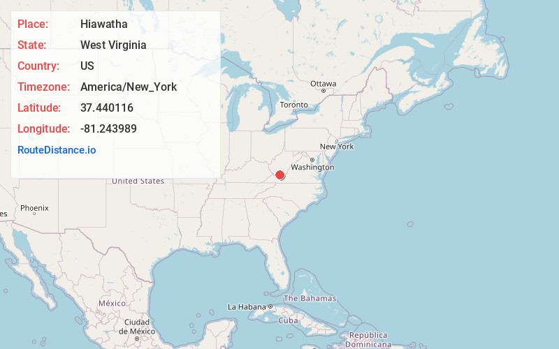
Full AddressHiawatha, WV 24733
-
Coordinates37.4401161, -81.2439885
-
LocationHiawatha , West Virginia , US
-
TimezoneAmerica/New_York
-
Current Local Time6:35:00 AM America/New_YorkFriday, May 23, 2025
-
Page Views0
About Hiawatha
Hiawatha is an unincorporated community in Mercer County, West Virginia, United States. Hiawatha is located along West Virginia Route 10, 1.5 miles north of Matoaka. Hiawatha had a post office with ZIP code 24729.
The community was named after Hiawatha, an Iroquois chief.
Nearby Places
Found 10 places within 50 miles

Matoaka
1.4 mi
2.3 km
Matoaka, WV
Get directions
Giatto
1.7 mi
2.7 km
Giatto, WV 24747
Get directions
Weyanoke
1.9 mi
3.1 km
Weyanoke, WV 24747
Get directions
Pinoak
2.0 mi
3.2 km
Pinoak, WV 24733
Get directions
Lashmeet
2.9 mi
4.7 km
Lashmeet, WV
Get directions
Crumpler
5.5 mi
8.9 km
Crumpler, WV 24747
Get directions

Covel
5.6 mi
9.0 km
Covel, WV 24736
Get directions
Cherokee
5.6 mi
9.0 km
Cherokee, WV 24747
Get directions
Montcalm
6.0 mi
9.7 km
Montcalm, WV
Get directions
Herndon
6.9 mi
11.1 km
Herndon, WV 24736
Get directions
Location Links
Local Weather
Weather Information
Coming soon!
Location Map
Static map view of Hiawatha, West Virginia
Browse Places by Distance
Places within specific distances from Hiawatha
Short Distances
Long Distances
Click any distance to see all places within that range from Hiawatha. Distances shown in miles (1 mile ≈ 1.61 kilometers).