Distance to Hiawatha National Forest, Michigan

Calculating Your Route
Just a moment while we process your request...
Location Information
-
Full AddressHiawatha National Forest, Manistique, MI 49854
-
Coordinates46.0906393, -86.7448037
-
LocationManistique , Michigan , US
-
TimezoneAmerica/Detroit
-
Current Local Time8:33:38 PM America/DetroitSunday, June 1, 2025
-
Website
-
Page Views0
About Hiawatha National Forest
With shores on 3 Great Lakes, this vast park offers water sports, campsites, scenic trails & more.


Nearby Places
Found 10 places within 50 miles

Masonville Township
8.2 mi
13.2 km
Masonville Township, MI 49878
Get directions

Nahma Township
9.2 mi
14.8 km
Nahma Township, MI
Get directions

Mathias Township
10.5 mi
16.9 km
Mathias Township, MI
Get directions

Trenary
13.0 mi
20.9 km
Trenary, MI 49891
Get directions
Nahma Junction
13.5 mi
21.7 km
Nahma Junction, MI 49878
Get directions
St Jacques
13.5 mi
21.7 km
St Jacques, MI 49878
Get directions
Inwood Township
13.6 mi
21.9 km
Inwood Township, MI
Get directions
Maplewood
13.8 mi
22.2 km
Maplewood, MI 49878
Get directions
Limestone
14.7 mi
23.7 km
Limestone, MI 49816
Get directions
Isabella
14.9 mi
24.0 km
Isabella, MI 49878
Get directions
Location Links
Local Weather
Weather Information
Coming soon!
Location Map
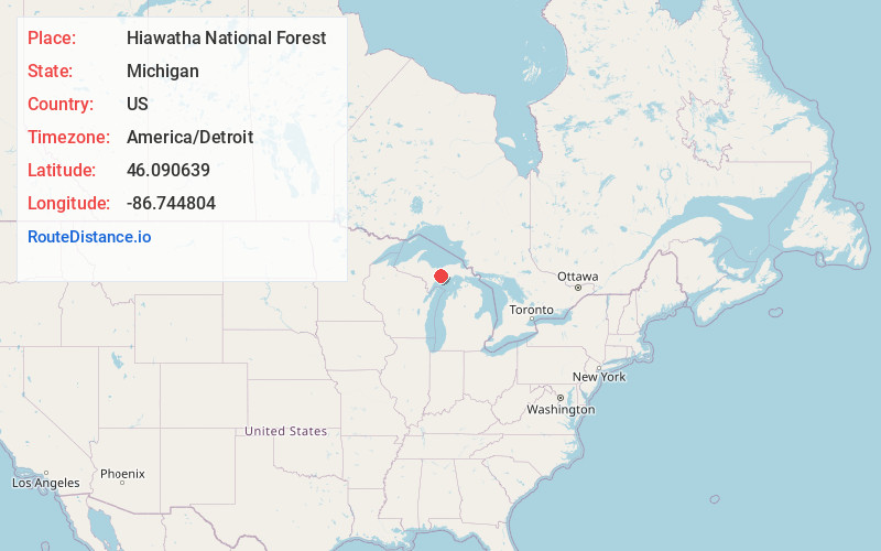
Static map view of Hiawatha National Forest, Michigan
Browse Places by Distance
Places within specific distances from Hiawatha National Forest
Short Distances
Long Distances
Click any distance to see all places within that range from Hiawatha National Forest. Distances shown in miles (1 mile ≈ 1.61 kilometers).