Distance to Hickory, Oklahoma

Calculating Your Route
Just a moment while we process your request...
Location Information
-
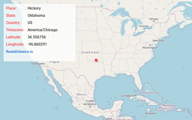
Full AddressHickory, OK 73086
-
Coordinates34.5567558, -96.8602908
-
LocationHickory , Oklahoma , US
-
TimezoneAmerica/Chicago
-
Current Local Time1:44:22 PM America/ChicagoMonday, May 19, 2025
-
Page Views0
About Hickory
Hickory is a town in Murray County, Oklahoma, United States. The population was 86 as of the 2020 Census. It is about 11 miles northeast of Sulphur by way of State Hwy 7, State Hwy 1, and Madison Rd. The locale is old enough to appear on a 1911 Rand McNally map of the county.


Nearby Places
Found 10 places within 50 miles

Roff
5.0 mi
8.0 km
Roff, OK 74865
Get directions

Sulphur
7.0 mi
11.3 km
Sulphur, OK 73086
Get directions

Fitzhugh
9.0 mi
14.5 km
Fitzhugh, OK
Get directions

Mill Creek
10.7 mi
17.2 km
Mill Creek, OK 74856
Get directions

Davis
15.2 mi
24.5 km
Davis, OK 73030
Get directions

Dougherty
15.5 mi
24.9 km
Dougherty, OK
Get directions

Pickett
16.3 mi
26.2 km
Pickett, OK 74820
Get directions

Stratford
17.5 mi
28.2 km
Stratford, OK 74872
Get directions

Ada
18.3 mi
29.5 km
Ada, OK
Get directions

Wynnewood
18.6 mi
29.9 km
Wynnewood, OK 73098
Get directions
Location Links
Local Weather
Weather Information
Coming soon!
Location Map
Static map view of Hickory, Oklahoma
Browse Places by Distance
Places within specific distances from Hickory
Short Distances
Long Distances
Click any distance to see all places within that range from Hickory. Distances shown in miles (1 mile ≈ 1.61 kilometers).