Distance to High Level, Alabama

Calculating Your Route
Just a moment while we process your request...
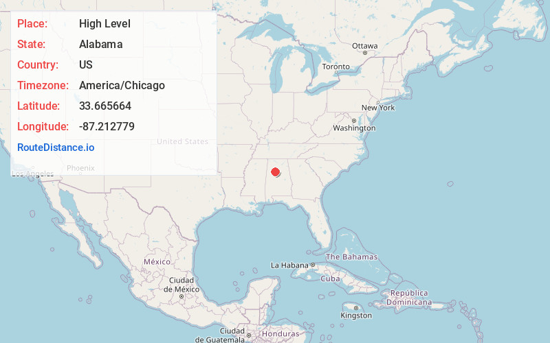
Location Information
-
Full AddressHigh Level, AL 35580
-
Coordinates33.6656638, -87.2127785
-
LocationAlabama , US
-
TimezoneAmerica/Chicago
-
Current Local Time3:31:26 PM America/ChicagoWednesday, June 18, 2025
-
Page Views0
Nearby Places
Found 10 places within 50 miles

Gorgas
1.2 mi
1.9 km
Gorgas, AL 35580
Get directions
Bradleytown
3.2 mi
5.1 km
Bradleytown, AL 35580
Get directions
Aldridge
3.3 mi
5.3 km
Aldridge, AL 35550
Get directions
Dovertown
6.0 mi
9.7 km
Dovertown, AL 35550
Get directions

Parrish
6.1 mi
9.8 km
Parrish, AL 35580
Get directions
Red Star
6.2 mi
10.0 km
Red Star, AL 35062
Get directions

Cordova
6.7 mi
10.8 km
Cordova, AL 35550
Get directions
Flat Creek
7.1 mi
11.4 km
Flat Creek, AL 35130
Get directions


Leaflet © OpenStreetMap contributors
Location Links
Local Weather
Weather Information
Coming soon!
Location Map
Static map view of High Level, Alabama
Browse Places by Distance
Places within specific distances from High Level
Short Distances
Long Distances
Click any distance to see all places within that range from High Level. Distances shown in miles (1 mile ≈ 1.61 kilometers).