Distance to High Point, Florida

Calculating Your Route
Just a moment while we process your request...
Location Information
-
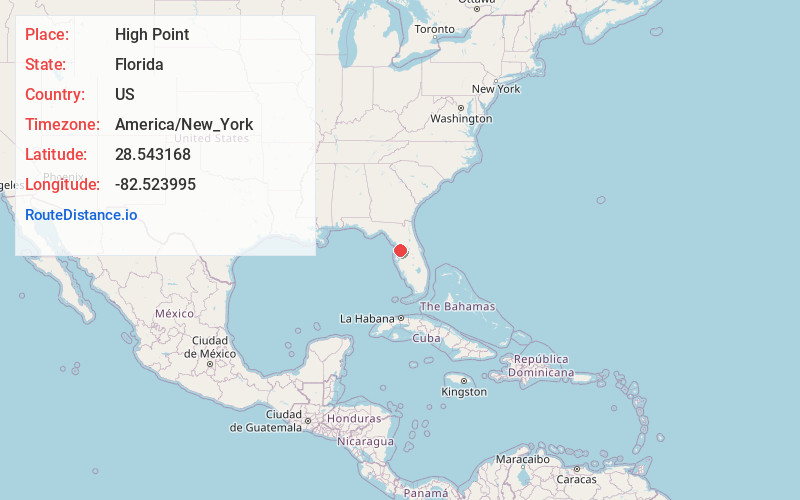
Full AddressHigh Point, FL 34613
-
Coordinates28.5431679, -82.5239953
-
LocationHigh Point , Florida , US
-
TimezoneAmerica/New_York
-
Current Local Time4:31:12 PM America/New_YorkThursday, June 19, 2025
-
Page Views0
About High Point
High Point is an unincorporated area and census-designated place in Hernando County, Florida, United States. The population was 3,686 at the 2010 census.
Nearby Places
Found 10 places within 50 miles

North Weeki Wachee
2.0 mi
3.2 km
North Weeki Wachee, FL
Get directions
Brookridge
2.0 mi
3.2 km
Brookridge, FL 34613
Get directions

Spring Hill
4.2 mi
6.8 km
Spring Hill, FL
Get directions

Timber Pines
7.0 mi
11.3 km
Timber Pines, FL 34606
Get directions
North Brooksville
7.3 mi
11.7 km
North Brooksville, FL 34601
Get directions

Brooksville
8.3 mi
13.4 km
Brooksville, FL
Get directions
South Brooksville
8.6 mi
13.8 km
South Brooksville, FL
Get directions
Shady Hills
9.3 mi
15.0 km
Shady Hills, FL
Get directions

Hudson
16.1 mi
25.9 km
Hudson, FL 34667
Get directions

Bayonet Point
18.0 mi
29.0 km
Bayonet Point, FL
Get directions
Location Links
Local Weather
Weather Information
Coming soon!
Location Map
Static map view of High Point, Florida
Browse Places by Distance
Places within specific distances from High Point
Short Distances
Long Distances
Click any distance to see all places within that range from High Point. Distances shown in miles (1 mile ≈ 1.61 kilometers).