Distance to Highlandville, Iowa

Calculating Your Route
Just a moment while we process your request...
Location Information
-
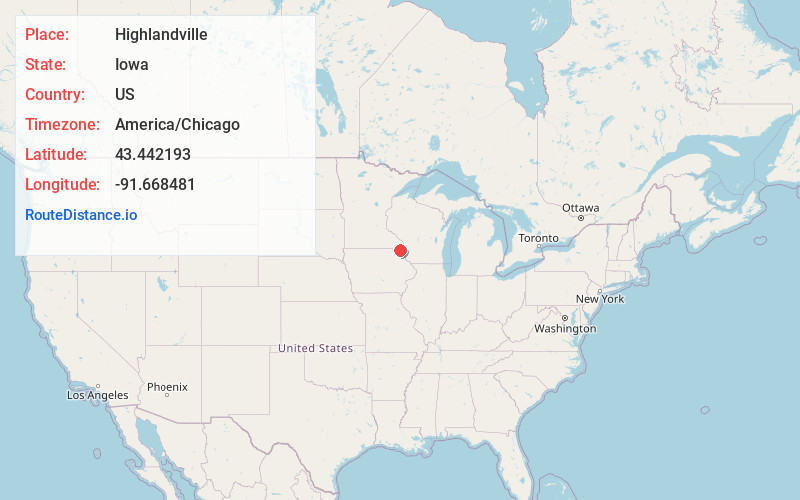
Full AddressHighlandville, IA 52101
-
Coordinates43.4421928, -91.6684805
-
LocationHighlandville , Iowa , US
-
TimezoneAmerica/Chicago
-
Current Local Time10:47:05 PM America/ChicagoTuesday, June 17, 2025
-
Page Views0
About Highlandville
Highlandville is an unincorporated community in northeastern Winneshiek County, Iowa, United States. The community is located along local roads northeast of the city of Decorah, the county seat of Winneshiek County. The community's elevation is 945 feet. A post office opened in Highlandville in 1868, closing in 1985.


Nearby Places
Found 10 places within 50 miles

Mabel
7.3 mi
11.7 km
Mabel, MN 55954
Get directions

Spring Grove
8.4 mi
13.5 km
Spring Grove, MN 55974
Get directions

Riceford
9.7 mi
15.6 km
Riceford, MN 55954
Get directions
Burr Oak
9.9 mi
15.9 km
Burr Oak, IA 52101
Get directions

Decorah
11.3 mi
18.2 km
Decorah, IA 52101
Get directions
Eitzen
11.3 mi
18.2 km
Eitzen, MN 55931
Get directions

Canton
14.6 mi
23.5 km
Canton, MN 55922
Get directions

Waukon
15.4 mi
24.8 km
Waukon, IA 52172
Get directions

Caledonia
15.8 mi
25.4 km
Caledonia, MN 55921
Get directions

Harmony
18.6 mi
29.9 km
Harmony, MN 55939
Get directions
Location Links
Local Weather
Weather Information
Coming soon!
Location Map
Static map view of Highlandville, Iowa
Browse Places by Distance
Places within specific distances from Highlandville
Short Distances
Long Distances
Click any distance to see all places within that range from Highlandville. Distances shown in miles (1 mile ≈ 1.61 kilometers).