Distance to Highrock, Pennsylvania

Calculating Your Route
Just a moment while we process your request...
Location Information
-
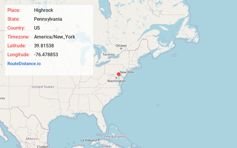
Full AddressHighrock, Lower Chanceford Township, PA 17302
-
Coordinates39.8153802, -76.4788533
-
LocationLower Chanceford Township , Pennsylvania , US
-
TimezoneAmerica/New_York
-
Current Local Time1:42:30 AM America/New_YorkFriday, June 20, 2025
-
Page Views0
Nearby Places
Found 10 places within 50 miles

Muddy Creek Forks
0.5 mi
0.8 km
Muddy Creek Forks, PA 17302
Get directions

Laurel
1.8 mi
2.9 km
Laurel, East Hopewell Township, PA 17322
Get directions

East Hopewell Township
3.4 mi
5.5 km
East Hopewell Township, PA
Get directions
Brogueville
3.4 mi
5.5 km
Brogueville, PA 17322
Get directions
Cross Mill
3.5 mi
5.6 km
Cross Mill, East Hopewell Township, PA 17322
Get directions
Bridgeton
3.5 mi
5.6 km
Bridgeton, PA 17302
Get directions
North Branch Muddy Creek
4.0 mi
6.4 km
North Branch Muddy Creek, Pennsylvania
Get directions
Grove Mill
4.1 mi
6.6 km
Grove Mill, East Hopewell Township, PA 17363
Get directions
Lower Chanceford Township
4.9 mi
7.9 km
Lower Chanceford Township, PA
Get directions
Cross Roads
5.2 mi
8.4 km
Cross Roads, PA
Get directions
Location Links
Local Weather
Weather Information
Coming soon!
Location Map
Static map view of Highrock, Pennsylvania
Browse Places by Distance
Places within specific distances from Highrock
Short Distances
Long Distances
Click any distance to see all places within that range from Highrock. Distances shown in miles (1 mile ≈ 1.61 kilometers).