Distance to Hightower, Texas

Calculating Your Route
Just a moment while we process your request...
Location Information
-
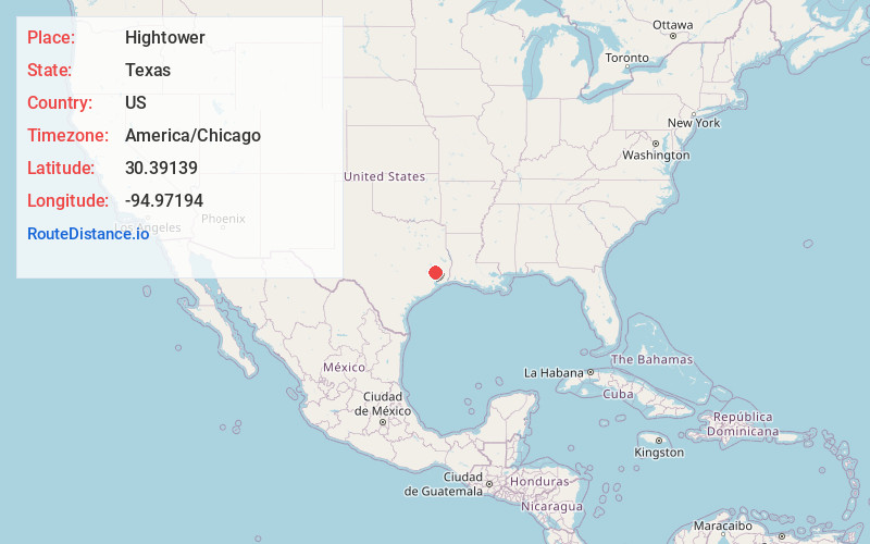
Full AddressHightower, TX 77327
-
Coordinates30.39139, -94.97194
-
LocationHightower , Texas , US
-
TimezoneAmerica/Chicago
-
Current Local Time8:38:12 PM America/ChicagoWednesday, June 18, 2025
-
Page Views0
About Hightower
Hightower is an unincorporated community in Liberty County, Texas, United States. It is a geographic area without official borders, centered on the intersection of FM 787 and FM 2518.
Nearby Places
Found 10 places within 50 miles

Seaman
4.2 mi
6.8 km
Seaman, TX 77327
Get directions

Shepherd
7.5 mi
12.1 km
Shepherd, TX 77371
Get directions

Cleveland
7.6 mi
12.2 km
Cleveland, TX
Get directions
North Cleveland
7.7 mi
12.4 km
North Cleveland, TX
Get directions
Milvid
11.4 mi
18.3 km
Milvid, TX 77327
Get directions

Plum Grove
14.2 mi
22.9 km
Plum Grove, TX
Get directions

Goodrich
14.9 mi
24.0 km
Goodrich, TX 77335
Get directions

Splendora
15.7 mi
25.3 km
Splendora, TX
Get directions
Schwab City
16.2 mi
26.1 km
Schwab City, TX 77351
Get directions

Security
16.5 mi
26.6 km
Security, TX 77328
Get directions
Location Links
Local Weather
Weather Information
Coming soon!
Location Map
Static map view of Hightower, Texas
Browse Places by Distance
Places within specific distances from Hightower
Short Distances
Long Distances
Click any distance to see all places within that range from Hightower. Distances shown in miles (1 mile ≈ 1.61 kilometers).