Distance to Hightstown, New Jersey

Calculating Your Route
Just a moment while we process your request...
Location Information
-
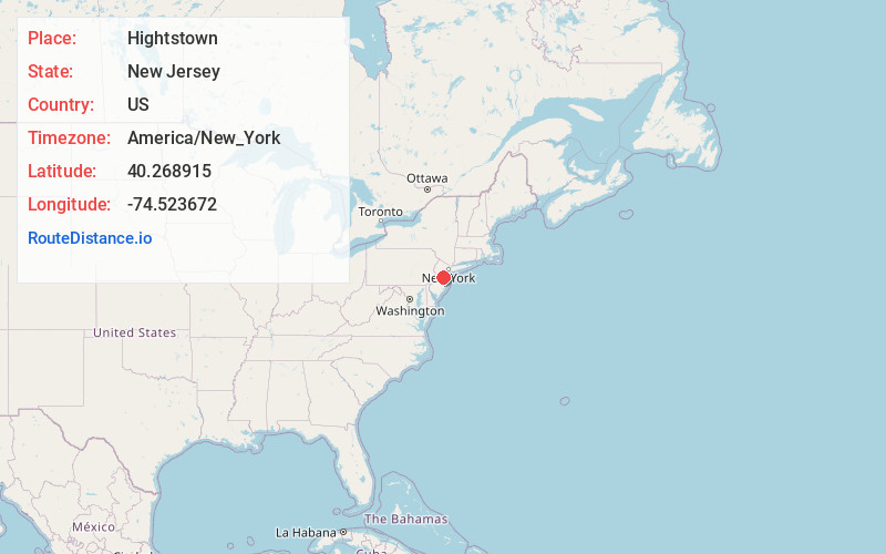
Full AddressHightstown, NJ 08520
-
Coordinates40.2689151, -74.5236723
-
LocationHightstown , New Jersey , US
-
TimezoneAmerica/New_York
-
Current Local Time8:37:06 PM America/New_YorkTuesday, June 17, 2025
-
Website
-
Page Views0
About Hightstown
Hightstown is a borough in Mercer County, in the U.S. state of New Jersey. Nestled within the Raritan Valley region, Hightstown is an historic, commercial, and cultural hub of Central New Jersey, along with being a diverse outer-ring commuter suburb of New York City in the New York Metropolitan Area.


Nearby Places
Found 10 places within 50 miles

East Windsor
0.8 mi
1.3 km
East Windsor, NJ
Get directions

Monroe Township
5.2 mi
8.4 km
Monroe Township, NJ 08831
Get directions

Plainsboro Township
5.6 mi
9.0 km
Plainsboro Township, NJ
Get directions

Millstone
5.8 mi
9.3 km
Millstone, NJ
Get directions

Robbinsville Twp
6.3 mi
10.1 km
Robbinsville Twp, NJ
Get directions

West Windsor Township
7.4 mi
11.9 km
West Windsor Township, NJ
Get directions

Upper Freehold
8.3 mi
13.4 km
Upper Freehold, NJ
Get directions

Princeton
9.0 mi
14.5 km
Princeton, NJ
Get directions

South Brunswick Township
9.4 mi
15.1 km
South Brunswick Township, NJ
Get directions

Hamilton Township
10.8 mi
17.4 km
Hamilton Township, NJ
Get directions
Location Links
Local Weather
Weather Information
Coming soon!
Location Map
Static map view of Hightstown, New Jersey
Browse Places by Distance
Places within specific distances from Hightstown
Short Distances
Long Distances
Click any distance to see all places within that range from Hightstown. Distances shown in miles (1 mile ≈ 1.61 kilometers).