Distance to Hilda, Texas

Calculating Your Route
Just a moment while we process your request...
Location Information
-
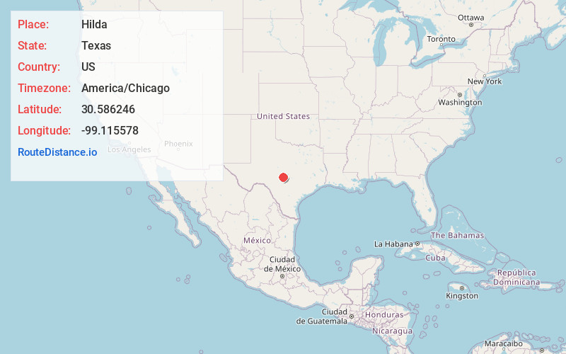
Full AddressHilda, TX 76856
-
Coordinates30.586246, -99.115578
-
LocationHilda , Texas , US
-
TimezoneAmerica/Chicago
-
Current Local Time12:07:51 AM America/ChicagoFriday, June 27, 2025
-
Page Views0
About Hilda
Hilda is an unincorporated farming and ranching community established c. 1852 in Mason County, in the U.S. state of Texas. It is located on RM 783, halfway between Mason and Doss. Hilda was founded by German immigrants settling in the Fisher–Miller Land Grant territory.
Nearby Places
Found 10 places within 50 miles

Castell
12.3 mi
19.8 km
Castell, TX 76831
Get directions

Mason
13.1 mi
21.1 km
Mason, TX 76856
Get directions

Harper
21.2 mi
34.1 km
Harper, TX 78631
Get directions

Pontotoc
23.7 mi
38.1 km
Pontotoc, TX
Get directions

Fredonia
23.9 mi
38.5 km
Fredonia, TX 76842
Get directions

Fredericksburg
25.8 mi
41.5 km
Fredericksburg, TX 78624
Get directions
Saline
27.7 mi
44.6 km
Saline, TX 76854
Get directions
Yates
28.4 mi
45.7 km
Yates, TX 76854
Get directions

Llano
28.8 mi
46.3 km
Llano, TX 78643
Get directions
Camp San Saba
29.5 mi
47.5 km
Camp San Saba, TX 76825
Get directions
Location Links
Local Weather
Weather Information
Coming soon!
Location Map
Static map view of Hilda, Texas
Browse Places by Distance
Places within specific distances from Hilda
Short Distances
Long Distances
Click any distance to see all places within that range from Hilda. Distances shown in miles (1 mile ≈ 1.61 kilometers).