Distance to Hildale, Utah

Calculating Your Route
Just a moment while we process your request...
Location Information
-
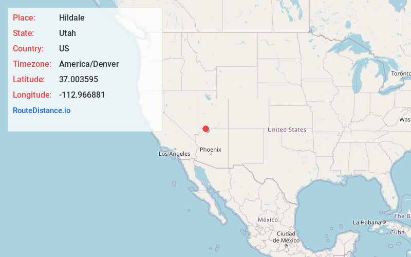
Full AddressHildale, UT
-
Coordinates37.0035953, -112.9668812
-
LocationHildale , Utah , US
-
TimezoneAmerica/Denver
-
Current Local Time3:23:19 PM America/DenverWednesday, June 18, 2025
-
Page Views0
About Hildale
Hildale is a city in Washington County, Utah, United States. The population was 1,127 at the 2020 census.
Hildale is located on the border of Utah and Arizona.


Nearby Places
Found 10 places within 50 miles

Colorado City
1.0 mi
1.6 km
Colorado City, AZ 86021
Get directions

Apple Valley
11.2 mi
18.0 km
Apple Valley, UT 84737
Get directions

Kaibab
14.5 mi
23.3 km
Kaibab, AZ 86022
Get directions

Hurricane
21.4 mi
34.4 km
Hurricane, UT 84737
Get directions

La Verkin
21.8 mi
35.1 km
La Verkin, UT 84745
Get directions

Kanab
24.5 mi
39.4 km
Kanab, UT 84741
Get directions

Toquerville
24.6 mi
39.6 km
Toquerville, UT
Get directions

Washington
31.1 mi
50.1 km
Washington, UT
Get directions

St. George
33.8 mi
54.4 km
St. George, UT
Get directions

Santa Clara
38.9 mi
62.6 km
Santa Clara, UT
Get directions
Location Links
Local Weather
Weather Information
Coming soon!
Location Map
Static map view of Hildale, Utah
Browse Places by Distance
Places within specific distances from Hildale
Short Distances
Long Distances
Click any distance to see all places within that range from Hildale. Distances shown in miles (1 mile ≈ 1.61 kilometers).