Distance to Hilham, Tennessee

Calculating Your Route
Just a moment while we process your request...
Location Information
-
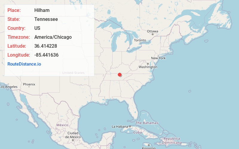
Full AddressHilham, TN
-
Coordinates36.4142281, -85.4416363
-
LocationHilham , Tennessee , US
-
TimezoneAmerica/Chicago
-
Current Local Time7:08:38 PM America/ChicagoSunday, June 22, 2025
-
Page Views0
About Hilham
Hilham is an unincorporated community in Overton County, Tennessee. The community is situated around the junction of Tennessee State Route 136 and Tennessee State Route 85.

Nearby Places
Found 10 places within 50 miles

Livingston
6.9 mi
11.1 km
Livingston, TN 38570
Get directions

Dodson Branch
8.6 mi
13.8 km
Dodson Branch, TN 38501
Get directions

Celina
10.0 mi
16.1 km
Celina, TN 38551
Get directions

Gainesboro
12.7 mi
20.4 km
Gainesboro, TN 38562
Get directions
Algood
15.1 mi
24.3 km
Algood, TN 38506
Get directions

Cookeville
17.7 mi
28.5 km
Cookeville, TN
Get directions

Byrdstown
20.6 mi
33.2 km
Byrdstown, TN 38549
Get directions

Monterey
20.8 mi
33.5 km
Monterey, TN 38574
Get directions

Baxter
21.2 mi
34.1 km
Baxter, TN
Get directions

Tompkinsville
24.3 mi
39.1 km
Tompkinsville, KY 42167
Get directions
Location Links
Local Weather
Weather Information
Coming soon!
Location Map
Static map view of Hilham, Tennessee
Browse Places by Distance
Places within specific distances from Hilham
Short Distances
Long Distances
Click any distance to see all places within that range from Hilham. Distances shown in miles (1 mile ≈ 1.61 kilometers).