Distance to Hill Chapel, Oklahoma

Calculating Your Route
Just a moment while we process your request...
Location Information
-
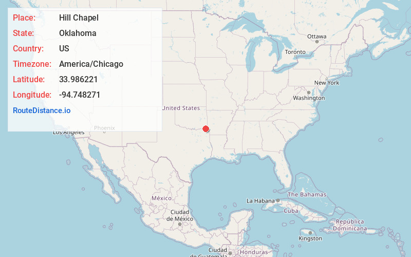
Full AddressHill Chapel, OK 74728
-
Coordinates33.9862212, -94.7482707
-
LocationOklahoma , US
-
TimezoneAmerica/Chicago
-
Current Local Time8:28:13 PM America/ChicagoFriday, May 30, 2025
-
Page Views0
Nearby Places
Found 10 places within 50 miles

Broken Bow
3.0 mi
4.8 km
Broken Bow, OK
Get directions

Holly Creek
4.0 mi
6.4 km
Holly Creek, OK 74745
Get directions
Shults
6.3 mi
10.1 km
Shults, OK 74745
Get directions

Idabel
7.7 mi
12.4 km
Idabel, OK 74745
Get directions
Golden
9.1 mi
14.6 km
Golden, OK 74745
Get directions

Eagletown
10.5 mi
16.9 km
Eagletown, OK 74734
Get directions

Haworth
11.1 mi
17.9 km
Haworth, OK
Get directions
Goodwater
11.3 mi
18.2 km
Goodwater, OK 74734
Get directions

Garvin
11.3 mi
18.2 km
Garvin, OK
Get directions

Hochatown
11.5 mi
18.5 km
Hochatown, OK 74728
Get directions
Location Links
Local Weather
Weather Information
Coming soon!
Location Map
Static map view of Hill Chapel, Oklahoma
Browse Places by Distance
Places within specific distances from Hill Chapel
Short Distances
Long Distances
Click any distance to see all places within that range from Hill Chapel. Distances shown in miles (1 mile ≈ 1.61 kilometers).