Distance to Hill Top, Alabama

Calculating Your Route
Just a moment while we process your request...
Location Information
-
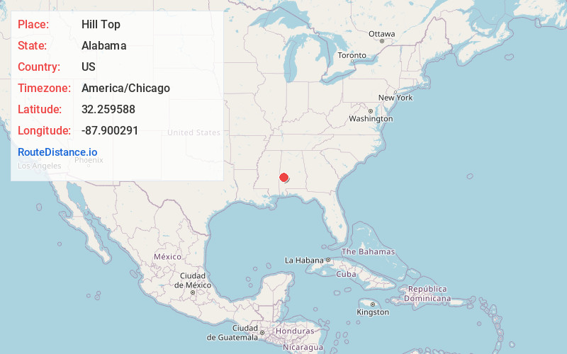
Full AddressHill Top, AL 36782
-
Coordinates32.2595879, -87.9002914
-
LocationAlabama , US
-
TimezoneAmerica/Chicago
-
Current Local Time11:51:31 AM America/ChicagoFriday, May 30, 2025
-
Page Views0
Nearby Places
Found 10 places within 50 miles

Myrtlewood
3.0 mi
4.8 km
Myrtlewood, AL 36782
Get directions
Rembert
3.4 mi
5.5 km
Rembert, AL 36748
Get directions

Linden
6.8 mi
10.9 km
Linden, AL 36748
Get directions
Naheola
7.8 mi
12.6 km
Naheola, AL 36916
Get directions
Tompkinsville
8.0 mi
12.9 km
Tompkinsville, Pennington, AL 36916
Get directions
Aimwell
9.4 mi
15.1 km
Aimwell, AL 36782
Get directions
Miller
9.8 mi
15.8 km
Miller, AL 36748
Get directions
Pennington
9.8 mi
15.8 km
Pennington, AL 36916
Get directions
Half Chance
10.5 mi
16.9 km
Half Chance, AL 36748
Get directions
Nanafalia
11.4 mi
18.3 km
Nanafalia, AL 36782
Get directions
Location Links
Local Weather
Weather Information
Coming soon!
Location Map
Static map view of Hill Top, Alabama
Browse Places by Distance
Places within specific distances from Hill Top
Short Distances
Long Distances
Click any distance to see all places within that range from Hill Top. Distances shown in miles (1 mile ≈ 1.61 kilometers).