Distance to Hillsborough River State Park, Florida

Calculating Your Route
Just a moment while we process your request...
Location Information
-
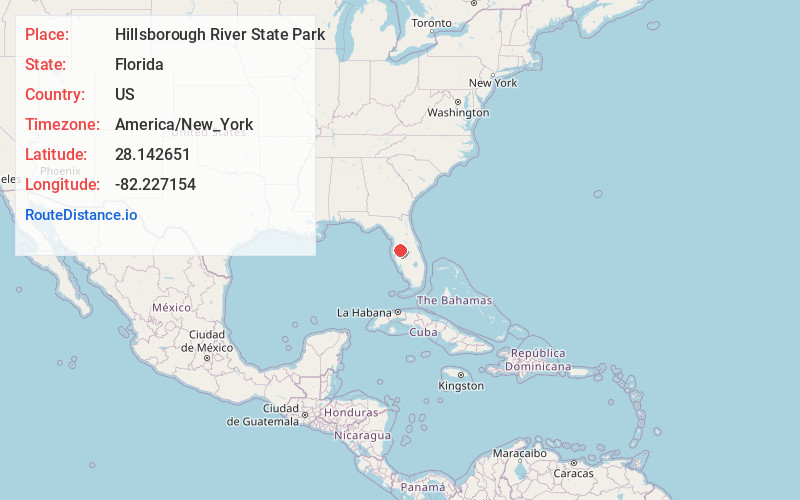
Full AddressHillsborough River State Park, 15402 US-301, Thonotosassa, FL 33592
-
Coordinates28.1426507, -82.227154
-
Street15402 US-301
-
LocationThonotosassa , Florida , US
-
TimezoneAmerica/New_York
-
Current Local Time6:34:44 AM America/New_YorkWednesday, June 4, 2025
-
Page Views0
About Hillsborough River State Park
One of Florida's first state parks, this park has offered fishing & kayaking since 1938.


Nearby Places
Found 10 places within 50 miles

Moriczville
5.0 mi
8.0 km
Moriczville, FL 33565
Get directions

Crystal Springs
5.0 mi
8.0 km
Crystal Springs, FL 33540
Get directions

Zephyrhills
6.9 mi
11.1 km
Zephyrhills, FL
Get directions

Thonotosassa
7.2 mi
11.6 km
Thonotosassa, FL
Get directions

Wesley Chapel
9.1 mi
14.6 km
Wesley Chapel, FL
Get directions
Shilow
9.3 mi
15.0 km
Shilow, Plant City, FL 33563
Get directions
Lumberton
10.2 mi
16.4 km
Lumberton, FL 33540
Get directions

Dover
10.3 mi
16.6 km
Dover, FL 33527
Get directions
Vitis
10.8 mi
17.4 km
Vitis, Richland, FL 33540
Get directions

Richland
10.9 mi
17.5 km
Richland, FL 33540
Get directions
Location Links
Local Weather
Weather Information
Coming soon!
Location Map
Static map view of Hillsborough River State Park, Florida
Browse Places by Distance
Places within specific distances from Hillsborough River State Park
Short Distances
Long Distances
Click any distance to see all places within that range from Hillsborough River State Park. Distances shown in miles (1 mile ≈ 1.61 kilometers).