Distance to Hodges, Alabama

Calculating Your Route
Just a moment while we process your request...
Location Information
-
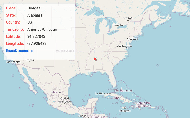
Full AddressHodges, AL 35571
-
Coordinates34.3270425, -87.9264233
-
LocationHodges , Alabama , US
-
TimezoneAmerica/Chicago
-
Current Local Time7:25:19 PM America/ChicagoFriday, June 20, 2025
-
Page Views0
About Hodges
Hodges is a town in Franklin County, Alabama, United States. At the 2020 census, the population was 265. Hodges was laid out in 1902. It was incorporated in 1913.


Nearby Places
Found 10 places within 50 miles

Hackleburg
6.6 mi
10.6 km
Hackleburg, AL 35564
Get directions

Vina
8.3 mi
13.4 km
Vina, AL
Get directions

Phil Campbell
12.7 mi
20.4 km
Phil Campbell, AL 35581
Get directions

Hamilton
13.2 mi
21.2 km
Hamilton, AL
Get directions

Bear Creek
13.4 mi
21.6 km
Bear Creek, AL
Get directions

Red Bay
14.5 mi
23.3 km
Red Bay, AL 35582
Get directions

Russellville
16.8 mi
27.0 km
Russellville, AL
Get directions

Haleyville
18.8 mi
30.3 km
Haleyville, AL 35565
Get directions

Belmont
20.5 mi
33.0 km
Belmont, MS
Get directions
Twin
22.6 mi
36.4 km
Twin, AL
Get directions
Location Links
Local Weather
Weather Information
Coming soon!
Location Map
Static map view of Hodges, Alabama
Browse Places by Distance
Places within specific distances from Hodges
Short Distances
Long Distances
Click any distance to see all places within that range from Hodges. Distances shown in miles (1 mile ≈ 1.61 kilometers).